
(Above: You can simply tap to view my quick ride-through of the new roads, via Canopies and Coastlines, the turn-off from existing pavement to new pavement is at 2m40s)
Zwift has just started rolling out their Watopia coastal expansion, which adds 8 new routes and some 19KM of new pavement along an entirely new vast portion of the southern coast. This new point-to-point road has a few different themes as you ride along it, from a section that feels like a coastal Norway (or Newfoundland) town, to less populated forested areas, before reaching Mayan-style temples.
Additionally, with this game update, Zwift says they’ve made some tweaks to Watopia at large, adding in a few new easter eggs to be on the lookout for.
Here’s a quick overview of where the new pavement is located. Actually, it’s not entirely pavement. Rather, there’s a brief section of some sort of dirt surface.
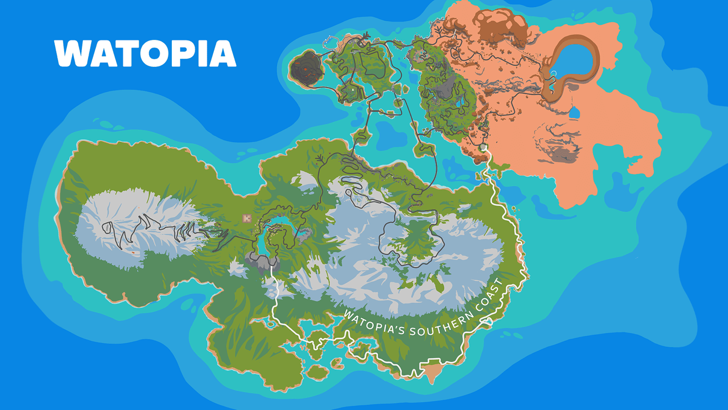
Looking at the new routes, there’s six to choose from. Precisely none of which simply start at the beginning of the new pavement. Instead, you’ll be putting in some miles first to get there. Here’s a quick overview of the six new routes, ranging from the shortest at 6.5KM, to the longest at 48KM. All of them include some portion of that new 19km section of roadway.
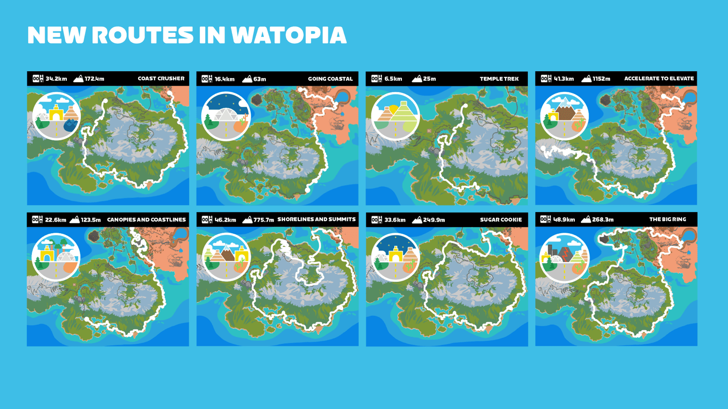
Here’s a list of the new routes, text-style:
– Coast Crusher (34 kilometers and 172 meters of ascent)
– The Big Ring (48 kilometers and 268 meters of ascent)
– Accelerate to Elevate (41 kilometers and 1,152 meters of ascent finishing atop the Alpe du Zwift)
– Shorelines and Summits (46 kilometers and 776 meters of climbing including the Epic KOM)
– Sugar Cookie (33 kilometers and 250 meters of climbing)
– Going Coastal (16 kilometers and 63 meters of climbing)
– Temple Trek (6 kilometers and 25 meters of climbing)
– Canopies and Coastlines (22 kilometers and 124 meters of climbing).
In my case, I selected Canopies and Coastline, and then simply continued it a bit longer to finish out the new pavement section. Of course, because I’m an idiot, I also managed to screw up navigation, not once, but twice. You’d think that’d be impossible on a preset route, and that’d be correct. Except, leave it to me to screw up.
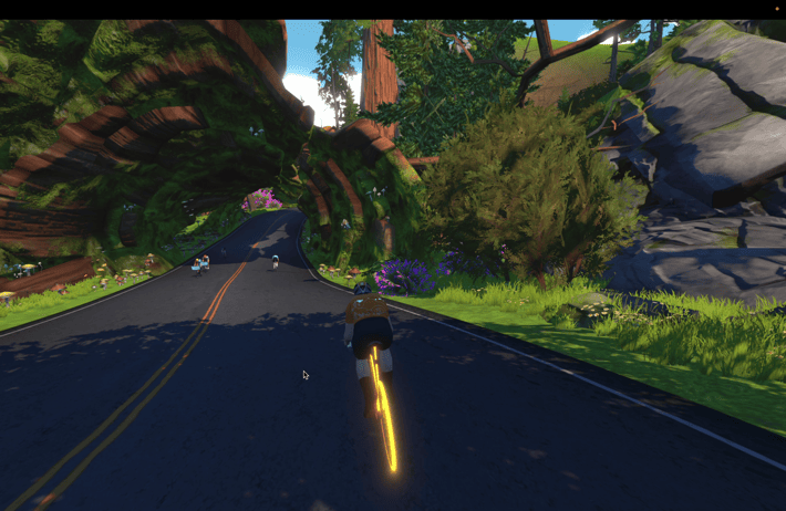
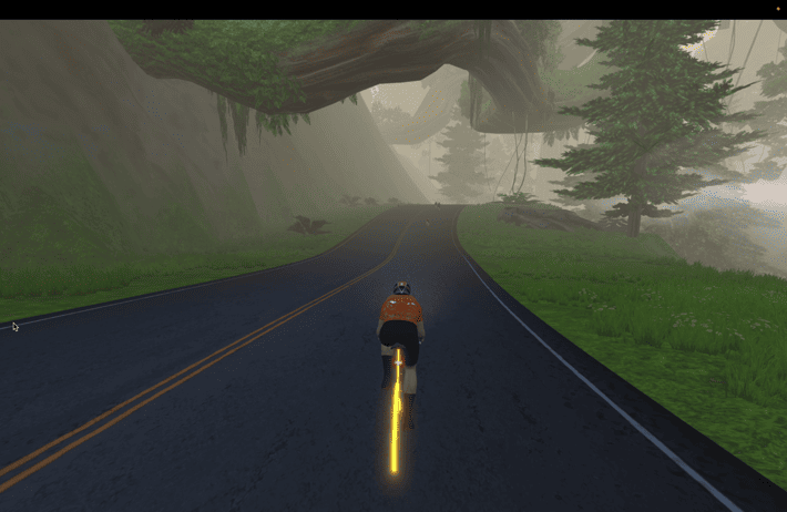
Basically the route starts off in existing road territory, and then makes its way down from the forests to the deserts, before going across a set of new bridges to the southern coast. In my case, I had the updated Zwift game app, but not the companion app (so it lacked the new bridges/routes). So as I approached the deserts mindlessly riding, I thought I somehow missed a turn, thus doubled all the way back, all the way across another set of bridges to the island, only to then realize I was on the right path to begin with. Sigh. But hey, more data for testing other devices I guess.
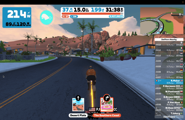
In any case, the first portion of this route is the usual, but then you’ll take a turn through what is essentially a suburban neighborhood, minus the Chicago O’Hare-style terminal connector tunnel that awaits:
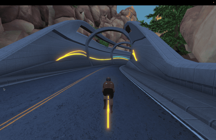
A minute or two later you’ll cross some low bridges over the channel, arriving in a fishing village – complete with crab shack.
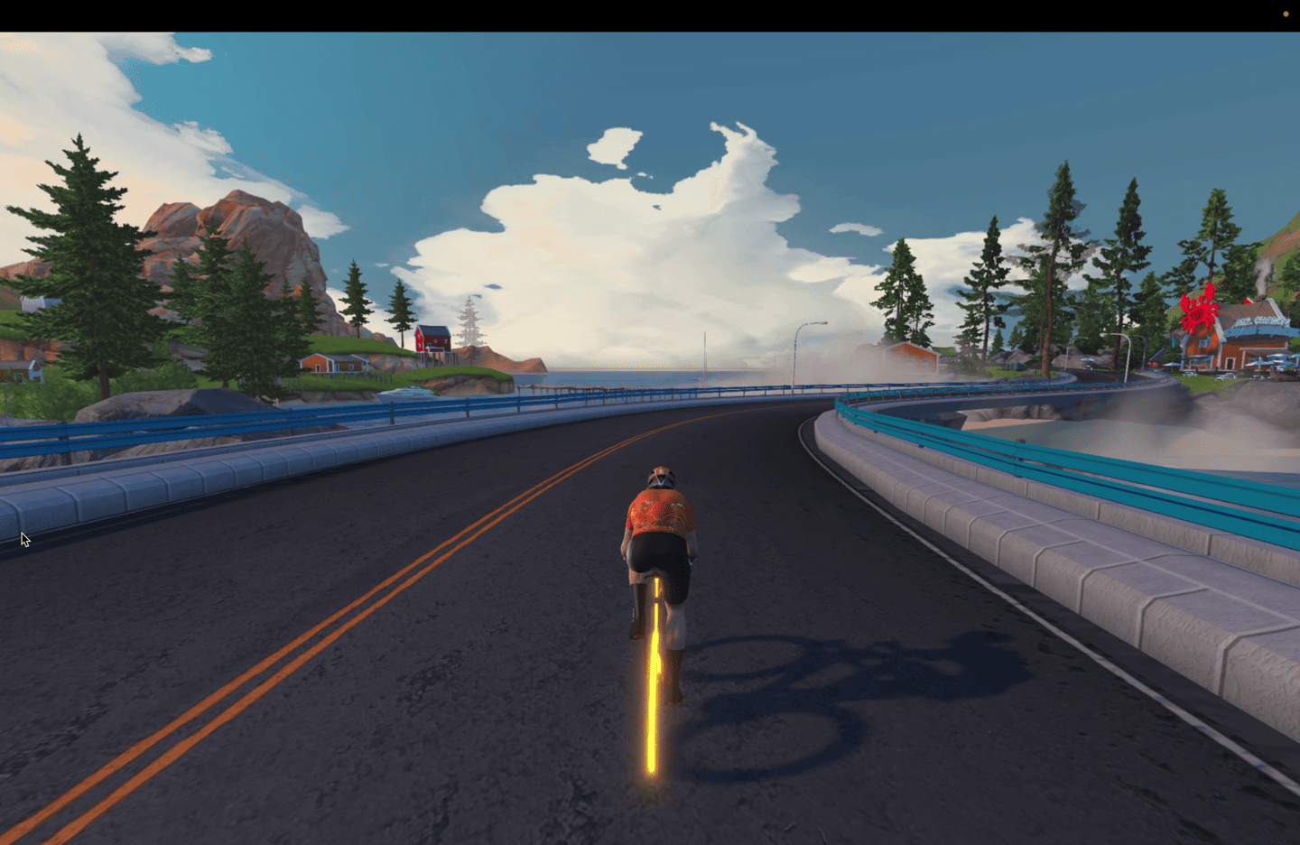
After leaving the fishing village you’ll continue along the mostly flat coastal road. There are a number of small tidbits off to the sides of this section, from this boat that had a bad day, to some smaller unique homes and other smaller structures like a lighthouse. But on the whole, the next few kilometers is kinda a bit of copy/paste.
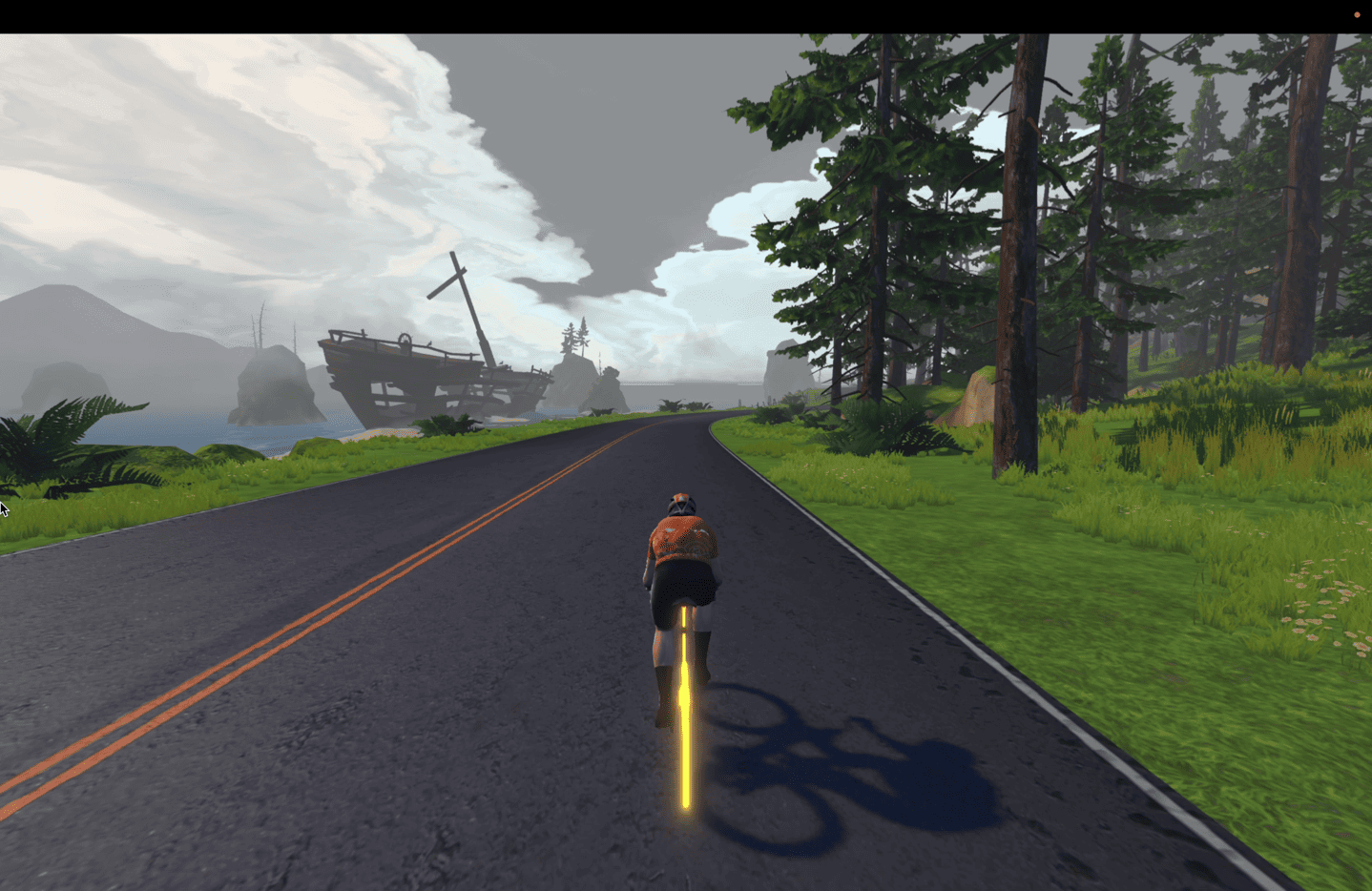
However, the forests did briefly end for a section of beach/dirt, which lasted about 45 seconds at my very lazy riding pace last night.
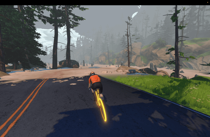
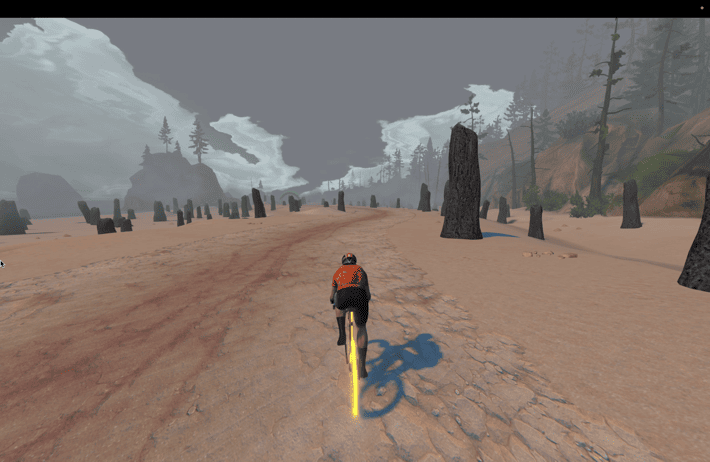
About 8-10 minutes later (again, lazy riding) of essentially just forest road, you’ll hit a much larger establishment of homes. It’s here you’ll notice a set of cones blocking the roadway, indicating future construction potential. In fact, in their press release, Zwift notes this, saying:
“In the future, Watopia’s construction planners expect to use the new causeway as a backbone for additional new roads, giving Zwifters access to other remote parts of Watopia that are not currently developed for cycling.”
It’d be pretty easy to see all the climbing routes Zwift could create from here, up into the mountains pictured earlier in the post. That’s a very vast expanse of nothingness (route-wise) on this island.
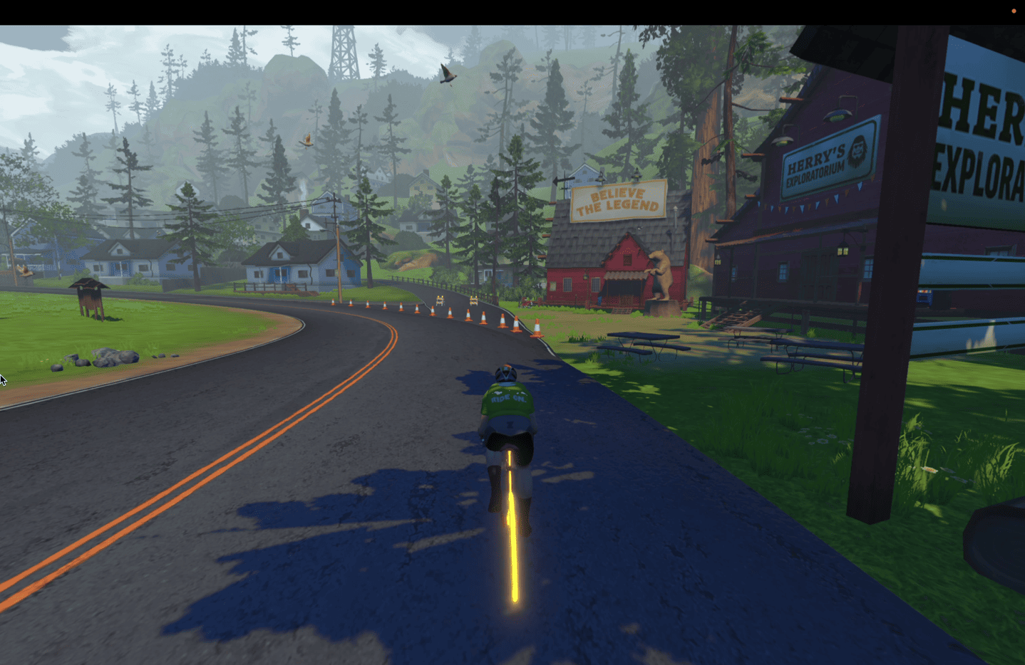
A few minutes later you’ll head through a rather modern-looking tunnel, before popping out into the very colorful town of Ciudad La Cumbre. I can only assume that the Zwift game designers had been waiting years to use this color pallet, and went all-out on it.
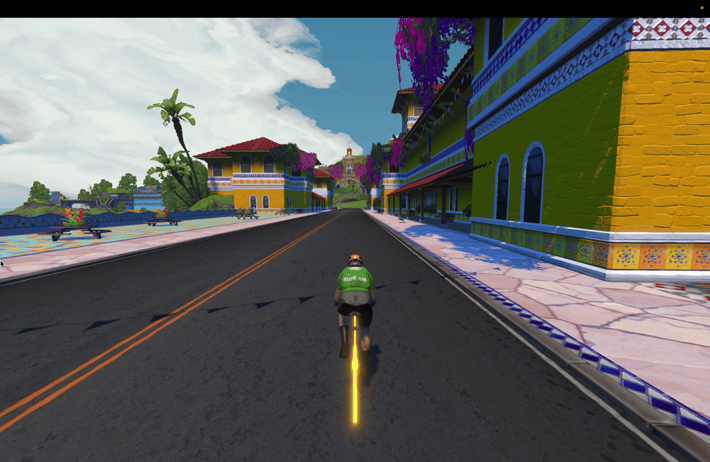
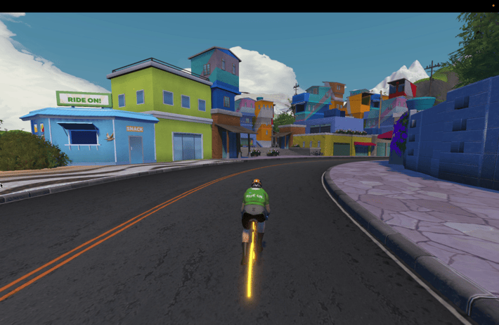
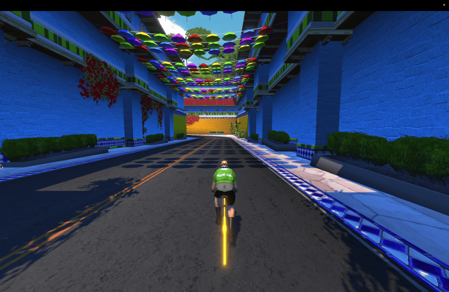
After that, you’ll transition to a Tetris game’s worth of Mayan temples to navigate. Personally, I’d love to see a race through here with steering required, and the usable road surface, including all those stones/planters/gaps. You think the burrito is exciting? Wait till someone hits one of the cauldrons of firing lava at 40KPH in a sprint. Oh…and then require said person to purchase a new bike with points to replace the melted one? That’s the gamification I’d be here for.
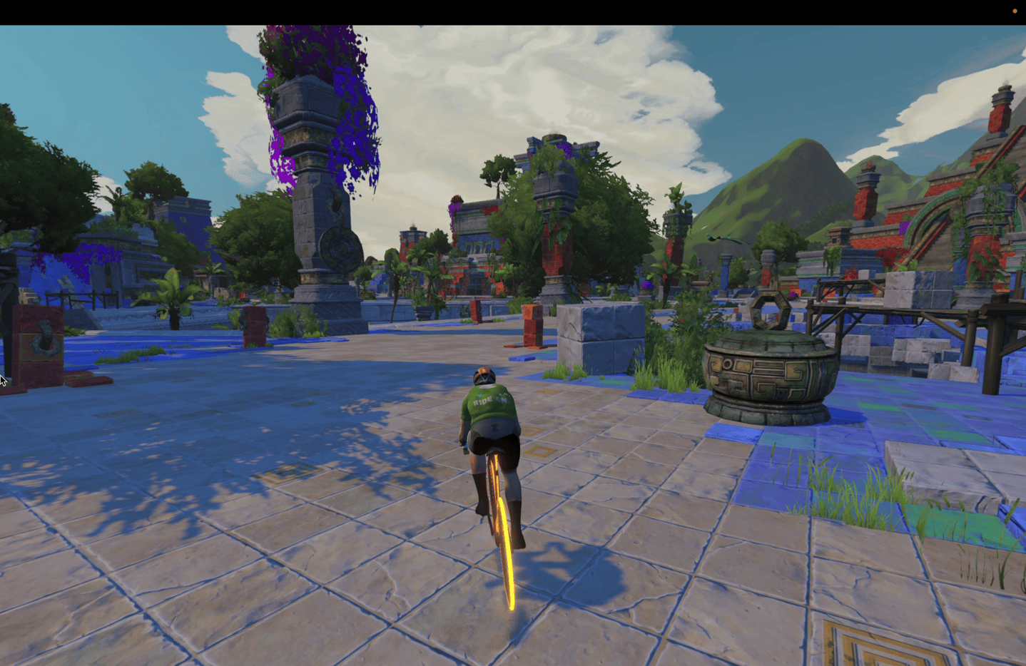
Speaking of sprints, there are a few sprint segments sprinkled about, four to be exact, titled: Stoneway Spring, Acropolis Sprint, Sasquatch Sprint, and Woodland Sprint.
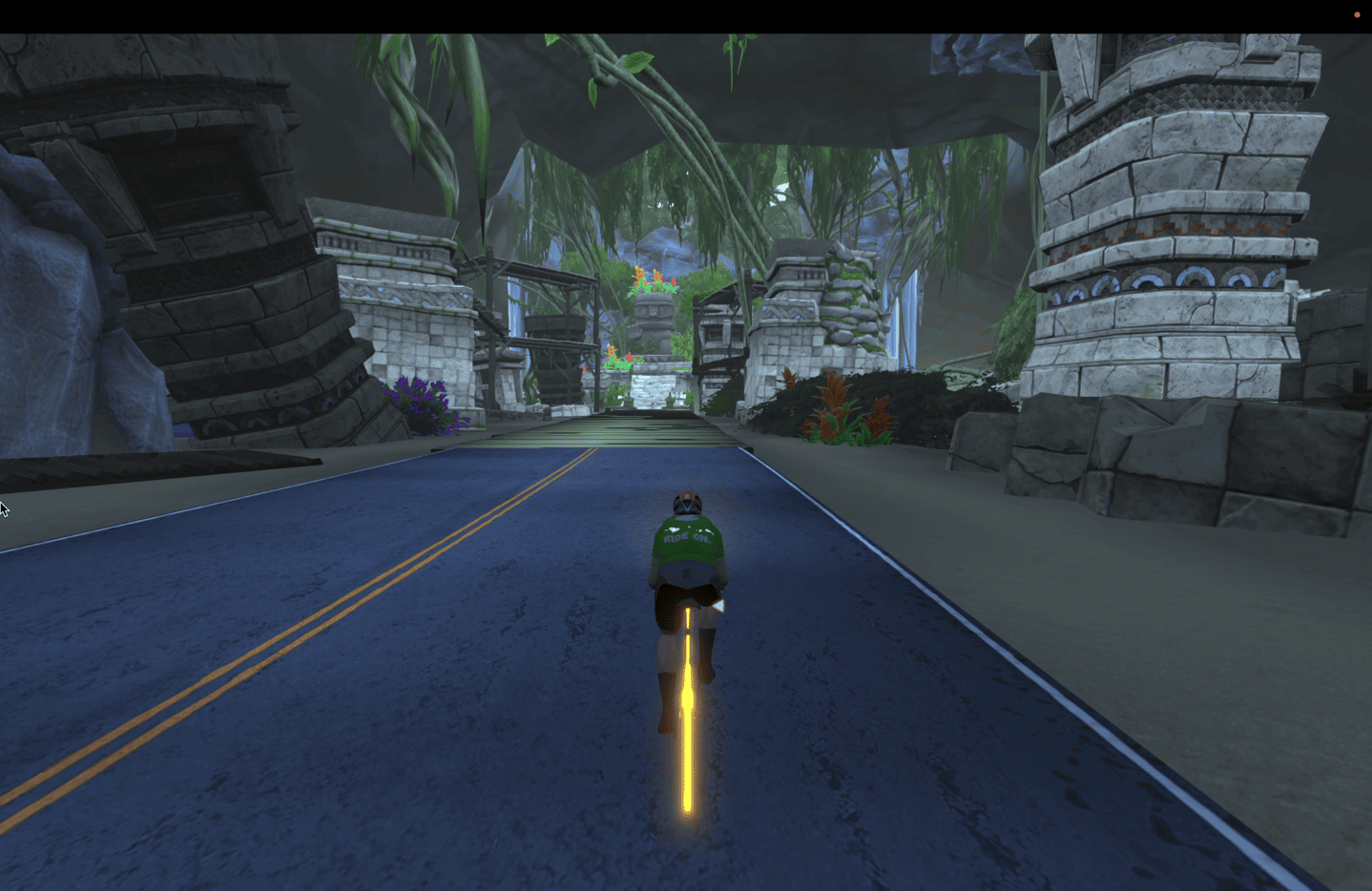
Once you’ve finished navigating Mayan Tetris, you’ll head inland through some jungles to eventually pop out joining the existing roadway:
When Zwift creates new roadways, they tend to fall into one of two camps: Big updates with entirely new worlds or significantly different themes (e.g., Makuri), or they tend to be more moderate and focused on fitting the general theme of an existing map with something minor but still appealing. Oftentimes, these new roads are connector-type roads, linking together other sections.
I think at 19km in length it’d be hard to call this “just” a connector road, albeit, it does connect to existing areas. Instead, it’s really more of a road unto itself, something worth riding as a standalone venture on one of the dedicated 8 new routes that includes it.
With that – go forth and give it a whirl. It’s slated to start rolling out today, and will complete roll-out to all users by Friday (Oct 27th). Thus, it may not be available immediately today for you. However, one thing of note is that the road won’t stay open to everyone for long, Zwift notes:
“All Zwifters can check out the new roads as soon as their game is updated to version 1.51, and during the fifth stage of the Tour of Watopia, which begins on Oct. 30. Upon conclusion of the Tour of Watopia, Zwifters will need to be at level 10 or higher to enjoy the coastal causeway and new routes.
With that, go forth and give it a whirl. Thanks for reading!
FOUND THIS POST USEFUL? SUPPORT THE SITE!
Hopefully, you found this post useful. The website is really a labor of love, so please consider becoming a DC RAINMAKER Supporter. This gets you an ad-free experience, and access to our (mostly) bi-monthly behind-the-scenes video series of “Shed Talkin’”.
Support DCRainMaker - Shop on Amazon
Otherwise, perhaps consider using the below link if shopping on Amazon. As an Amazon Associate, I earn from qualifying purchases. It doesn’t cost you anything extra, but your purchases help support this website a lot. It could simply be buying toilet paper, or this pizza oven we use and love.


I’m always excited to ride on new Watopia roads. Thanks for the write up!
They definitely need to mod the game for people to drop in where they choose. I want to ride this road, but completely disinterested in the routes to get there. Too bad.
If you are only interested in the new roads then paying for Zwift probably isn’t for you as doing those 19km over and over again will probably rot your brain before the even the first month is over.
I’ve been a paying user since Zwift came out and also Level 50+. If anybody here has a “Zwift isn’t for me” problem first, it’s gonna be you sweetheart.
Wow, sexism and elitism and being an a hole combined in one message! You seem fun! Let’s keep chatting.
Can’t be bothered to ride a few minutes/few km to get to a new road. A true athlete’s mind.
Ray, do Zwift have any plans to allow users to create their own routes? This in IMO would a game changer and be the first platform to allow this element of personalisation……..
Just the absolute bare minimum every time.
1. I hate gravel and sand routes and they keep adding them. No sense.
2.Two, when will there be next peaks in the watertopia.
3. I thought that with the PORTAL routes I would be able to add my own GPX to cover my route.
That first section has some pretty obvious Oregon coast landmarks (wreck of the Peter Iredale, Neskowin Ghost Forest, etc) that I’d be very surprised if it were supposed to be elsewhere.
I did a nice zone 2 amble on canopies and coastline, initially a bit boring but latter miles were more interesting with easy undulations and the possibility of lots of sprints.
This was the benefit of rgt as far as I was concerned
– there was the suggestion in the back the mind that it wasn’t all a game
Maybe try ChatGPT? It would probably come up with a comment that made more sense than this?