The Week in Review is a collection of both all the goodness I’ve written during the past week around the internet, as well as a small pile of links I found interesting – generally endurance sports related. I’ve often wondered what to do with all of the coolness that people write, and while I share a lot of it on Twitter, Facebook, and Google Plus, this is a better forum for sending it on to y’all. Most times these different streams don’t overlap, so be on the lookout at all these places for good stuff!
So with that, let’s get into the action!
DCRainmaker.com posts this past week:
Here’s all the goodness that ended up on the main page of DCRainmaker.com this past week.
Sunday: Week in Review: June 9th, 2014
Monday: Polar V800 Multisport GPS Watch In-Depth Review
Monday: 5 Random Things I Did This Weekend
Tuesday: Training Peaks adds automatic sync with Garmin Connect
Tuesday: Counterpoint: Understanding why the Garmin AutoSync rollout isn’t necessarily great for consumers
Thursday: Garmin Forerunner 15 GPS Watch & Daily Activity Monitor In-Depth Review
Friday: Our Parisian Dinner in White with 13,000 people
Stuff that I found interesting around the interwebs:
Here’s a not-so-small smattering of all the random things that I stumbled on while doing my civic duty to find the end of the Internet:
1) A look at the business side of cycling: Pro agents part I: Pretty cool start to a series focusing more on the backend side of the business. As a side note, CyclingTips was running a competition a few weeks ago to add two ‘reporters’ to their staff for the Tour de France this year. The winning YouTube video entry is here. Looks like a solid choice.
2) Reading your heart rate from the room next door with WiFi: This builds on some sorta-similar stuff we saw last year. Perhaps even optical HR straps will be a thing of the past soon too!
3) World Naked Bike Ride roundup (NSFW): Every year about this time a bunch of people strip down and ride around. Oddly, there was no event in Paris this year. But, the rest of the world seemed to make up for it. (via My Dad – Happy Father’s Day!)
4) Fit File Tools – Cool Stuff: This is neat, it allows you to remove specific fields from a given file – such as removing your power meter data. Also, another tool to change the date of your file. And finally, a 3rd tool ‘coming soon’ to combine two files together. As a side note, I’ve actually been slowly whittling away at a listing page of various tools from migration tools (i.e. going from Garmin Connect to Suunto Movescount) and file editing tools, etc… As always, feel free to drop links to your favorite tools (not so much apps, but one-off tools) down below.
5) Google Health Platform Coming Up: Looks like Google’s going to give health platforms another go (now setting the stage to compete with Apple, and to a lesser degree Microsoft’s HealthVault). Sounds like the plan is to announce in just over a week at Google IO. In unrelated news, rumors continue to build for a fall iWatch launch.
6) FitBit is coming to Windows Phone 8.1: Wow, that’s impressive. This will make for the first activity tracker to actively sync between the tracker and the phone. There are some 3rd party apps that simply show data from the site via API’s, but no Windows Phone compatible activity tracker devices today.
7) Study on power/impact on Twitter follower purchasing: I only include this because it came from triathlete parody account The Real Starky questioning age group sponsorships. I’d actually go a step further and note that the study also puts into question most pro sponsorships. Instead, I’ve long said that I only believe companies get their money’s worth when an athlete is very active in the community (some community) – ala Jordan Rapp on Slowtwitch. Otherwise, I think the vast majority of age groupers don’t purchase much based on what pros use product-wise. (via The Real Starky)
8) Ask me Anything about Wind Tunnel Testing: Speaking of Jordan Rapp, here’s a thread he opened up this week on his recent wind tunnel testing experience. Pretty cool data and thoughts on there. And of course, since it’s an AMA (Ask Me Anything), you can do just that. See what I mean about pros actually being engaged?
9) GoPro and BMW introduce action cam integration: Given we’ve seen this now on the Garmin VIRB units (+ Garmin GPS units), it makes complete sense to start seeing integration in other segments. In related news, GoPro continues to inch closer to their IPO here soon.
Crowd Funded Projects of Athletic Note:
Most of this content used to be found within the main section, but I figured I’d just call it out up here and make it easy to find. I regularly sift through Kickstarter and Indiegogo (plus a few others on occasion) looking for sports projects. If you’re unfamiliar with projects, read my detailed post on how I decide which projects I personally back. Note that as always with crowd funded projects, assume the project will be late and will under-deliver on features. Thus far, on the numerous products I’ve helped ‘fund’ (except a leather bike handle), that’s been the case.
MindRider: A New Mind-Mapping Helmet System
RoofScope – Keep an eye on your rooftop cargo (i.e. your bike!) (also sent in from Eli)
Sports Technology Software/Firmware Updates This Week:
Each week I quickly highlight some of the new firmware, app, software and website service updates that I see go out. If you’re a sports technology company and release an update – shoot me a quick note (just one liners is perfect, or Tweet it at me is even better) and I’ll make mention of it here. If I don’t know about it, I won’t be able to post about it. Sound good?
Site/Firmware Updates:
CycleOps Virtual Training adds tons of new features: Lots of stuff added to their indoor training app, with the Android update coming next week as well.
Garmin Fenix2 Firmware Update: Adds Training Plan support, Run/Walk support, Calorie alerts, and some bug fixes.
Garmin Monterra Firmware Update: Adds a few things, fixes a crapton of things. Side note to Garmin product teams: Why can’t you provide as much detail as the Monterra team does on fixes? 90% of the time there’s a slew of fixes that aren’t even called out in Fitness device firmware updates. Simply adding the fixes to the list like the Monterra team does makes you look better and more responsive (really, it does).
iPhone Apps:
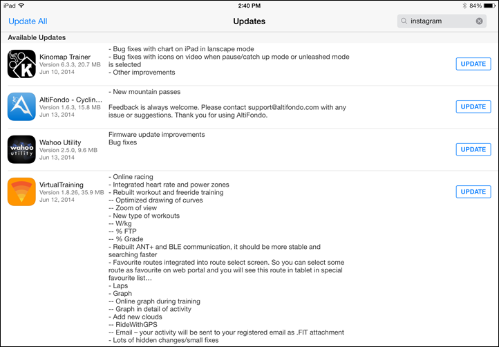
iPad App Updates:
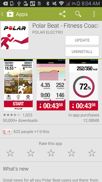
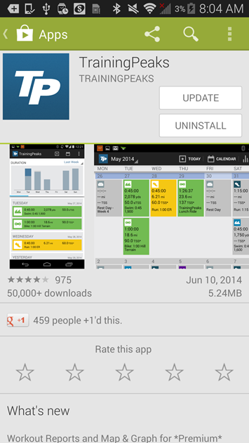
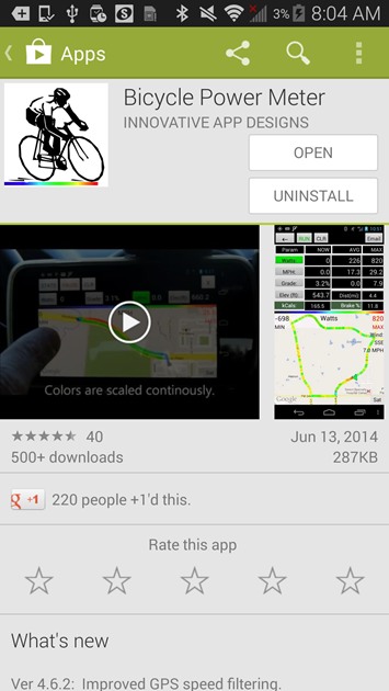
Android App updates:
Windows Phone App Updates:
—
Thanks for reading all!
FOUND THIS POST USEFUL? SUPPORT THE SITE!
Hopefully, you found this post useful. The website is really a labor of love, so please consider becoming a DC RAINMAKER Supporter. This gets you an ad-free experience, and access to our (mostly) bi-monthly behind-the-scenes video series of “Shed Talkin’”.
Support DCRainMaker - Shop on Amazon
Otherwise, perhaps consider using the below link if shopping on Amazon. As an Amazon Associate, I earn from qualifying purchases. It doesn’t cost you anything extra, but your purchases help support this website a lot. It could simply be buying toilet paper, or this pizza oven we use and love.





Hallo Ray, thanks again for a very informative post. You wrote that you were taking the Mio 505 into the mountains, was the software as much a disaster as is written on the Internet?
Looking at the barometric altimeter data, it’s spot-on with the other 8-10 devices I took with me on each ride.
Ray you really need to compare the pressure sensor altitude performance some where not so hilly. Big hills are easy to get good climb numbers on even gps based want be to bad if your going up and down big hills. The hard bit is not getting any climb when your on the dead flat but still getting some sensible climb when you go over a series of 10m up and downs. Your rides and runs in Paris are far more challenging than the big mountain stuff.
ifor, from a tech and science perspective, your comment doesn’t make much sense. I’ve never heard of any altitude tech that is more accurate, or less accurate, based on the presence or lack thereof of hills. There are atmospheric, ionospheric, even magnetic effects on altitude accuracy and precision, but never whether one was traversing on hilly or flat terrain. If you have references on that, please share.
wombhat – I don’t think your getting ifor’s point. A difference of 10 M is negligible in big hills and differences of this amount are to be expected amongst different units. 10 M, when that is the size of the hill is not negligible – all the science is absolute, not a percentage. The actual resolution and precision of the recording device will most certainly affect it’s ability to record smaller differences in terrain accurately and consistently. In fact software, and the correction algorithims may affect this as well.
Indeed absolute altitude will not be affected at all by the terrain. The stat people tend to really want to know though is how much climb did I do on my ride or run. For this the differentiation of going up to going down to being on the flat is the critical thing. Just comparing over one or two big hill will show very little difference where as if you have 10 or 20 smaller hills then you may tend to get some real differences between devices.
I agree with ifor. Its the short up and downs where the differences between devices are important. The elevation profile of a ride on a web site like mapmyride or ridewithGPS may look relatively flat between two different rides but one the is constantly going up and down is still harder then one that isn’t and the elevation gain should show that
“Big hills are easy to get good climb numbers on even gps based want be to bad if your going up and down big hills.”
I wouldn’t be so sure about that, or at least my small Strava circle begs to differ. The ones still using GPS elevation, regardless of the device, get ludicrously high numbers, and it makes sense too, triangulation is subject to a pretty large error on the vertical plane thus GPS sees them going up and down a lot, the total ascent piles up, big climbs or not.
Strava at least used to do an online lookup if they thing you don’t have a barometer based altitude solution. So the data there is not off the gps altitude but the online lookup based on the gps position. This tends to be worse in hilly terrain than flat terrain as a slight fluctuation in horizontal position when on a steep slope means you get the looked up elevation data fluctuating a lot. On flatter terrain the horizontal error once looked up for elevation leads to less variation.
Gps based elevation (or at least that I have seen lots of from phones) will tend to stay at a level for a number of data points then jump to a new level for a number of data points. These levels can fluctuate a lot e.g. say +- 10m so you get bad false climb numbers. When going up a big hill consistently though the chances of the fluctuation going lower than the previous point are lower because of the consistent climbing so you get a better total climb number.
Hi Ray, looking forward to the list of Fit tools. Here’s what I use for joining fit files currently. You need to have both files downloaded locally and then run, copy the lower box out to a new file and then upload again but the quickest and easiest I could find. Is here, post #3, all credit goes to AIM4MIN for this tool:
link to forums.garmin.com
I use this to combine TCX files and it works well. If you have more than one file to join, you can join file1 and file2 and make file1_2. You can then combine file1_2 with file3 to make file1_2_3.
It is a Java app and you have to do a little cut and paste but other than that, it does exactly what you need.
Looking to buy a fitness tracker, currently use a garmin 510 with cadence and heart rate while cycling. Looking for something that will integrate with my cycling data and also a cal counter. PC access will be limited at work so iPhone integration would be a big plus. What would folk recommend?
Since you’re already on the Garmin platform, I’d go with Vivofit (which will sync to your iPhone during the day via Bluetooth Smart). Check out the full review in the product review sections.
Wow, with the Google fitness and health data/API effort, and Apple’s, and Samsung’s, Garmin’s closed data world/pay to share data approach seems fatal to Garmin in the fitness space. But maybe Gamin has given up on data and firmware competency and is planning on being an OEM or contract manufacturer of fitness hardware for the firms with robust and open data apps.
To be fair, it’ll depend on what type of data and how it’s stored. For example, if we look at past efforts like HealthVault and Google Health, those weren’t really designed for sport/fitness data – but rather generic health/wellness data.
It’s one of the things I’m looking into talking to the right devs on the Apple side to see how that platform is looking from a data storage standpoint.
Wonder if Apple will have the data being open to allow syncing: link to fitnesssyncer.com
With regard to fit files i’ve using repairfitfile – also for combining several files. I.e swim data from a 910xt with heartrate from a vivofit.
link to fitfilerepairtool.info
Sweet, thanks!
Any further news about the update for the Garmin 620 which will included cycling functions? (I’m only a little impatient!)
It was supposed to be Thurs/Fri, but sounds like it slipped to this week. I should hear Monday sometime the exact date.
Thanks so much for your continued information on this. You’re also a refreshing voice of reason over on the Garmin forum.
Am I the only one thinking that the Roofscope would last maybe 15min on the car, suction cup would fail and fly away?
I’ve never seen a suction cup work properly, especially in the sun, and that’s after having used about 2 dozens different ones :|
Yes, regarding The Real Starky would you do a (mock) review of the T Shirt if they sent it to you and it wasn’t vaporware? Curious minds want to know – and The Real Starky seemed to suggest that you’d reveal the inner workings/real incremental value.
(not to add to your copious workload – but I figured you’re up for a little humor now and again). As with most things I won’t buy one until you’ve given your stamp of (dis? re: recent Garmin 1000 which has promise to be sure) approval.
Curious minds will have to remain curious… ;)
What is your take on these 2 new similar KickStarter products?
link to kickstarter.com
link to kickstarter.com
Airdog one is actually based in (Northern-Eastern) Europe, Latvia it is. This month they are staying in USA during the Kickstarter.
Funny, I was just looking at those earlier this morning. I backed the Hexo one, simply because it’s cheaper.
The File Combiner is now live on the FIT File Tools site! Upload multiple FIT files (up to 3) and it produces a single activity and file. You have the option of producing a single-session file, which is what is required by Strava and TrainingPeaks, or a multi-session file. A multi-session file is similar to the FIT files produces by multi sport devices. Please send any feedback. Thanks!
Couple of questions regarding trimming activity files…
-Is it easier/more accurate to trim .fit, .gpx, or .tcx files?
-I see you and others have discussed combining 2 or 3 files together — what tools are available to trim a file — ie, “I was so excited about my new PR that I forgot to stop my watch when I crossed the finish line” adjustment to a file? Said another way, how can I trim the last 15 minutes off the end of a file?
Thanks.
Paul,
I don’t think any one file type (fit, gpx, tcx) is easier or more accurate to trim than another. Garmin Edge devices write a “Record Message” once a second, so by trimming you’re just removing records.
Strava has a trim function. In WKO+ you can trim data by switching to the “Raw Data” view and cutting specific records. I can write a simple trim / crop tool on FIT File Tools if you’re interested.
Thanks
Kevin-
Thanks for your reply. How would the FIT File Tool work? Is it an app? Or something else? Thanks again.
The FIT File Tool is a website – http://www.fitfiletools.com. For the trim tool I imagine you would upload your file then specify a time range to trim.
Thanks for the link.
Oooh Fit tools, amazing! thanks Ray.