I arrived here in Perth, Australia nearly a week ago – and things have been a wee bit busy since then. As I noted what seems like ages ago, I’m in the midst of a two-week trip down here to Australia and New Zealand. Tomorrow I head over to Wellington, before backtracking to Sydney. Eventually I’ll add in Hong Kong and the flight home to France.
In the meantime, I’m loving Perth and the surrounding areas.
Well, actually, we’re, loving Perth and the surrounding areas.
Even though I was working last week, The Girl ended up joining me for a portion of the trip down here. When I took the job and we relocated to France, part of the goal was for both of us to be able to enjoy a portion of the pretty high-travel schedule I have. Cupcake shop or not.
Now we’ve been bouncing around the area quite a bit over the weekend, but perhaps our favorite place thus far has turned out to be a small island about 18KM (11 miles) off the coast from Perth – Rottnest Island. This marine sanctuary of sorts is about 10K long, and about 5K wide. You take a high speed ferry boat over and you’re there in 25 minutes. Pretty much perfect.
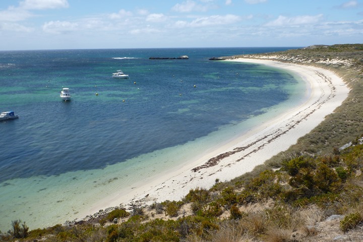
So, we headed over Saturday and ended up loving it. First off, no cars are allowed. It’s a bike-only place, which is awesome. Second, there’s beautiful beaches, and endless roads to ride and run on. So while that was planned as just a day trip, we ended up coming back the next day and staying the night. A small vacation within a trip.
It was early this morning that we had a long run on the schedule. I figured that a loop around the island ought to do the trick. We woke up at 5:30AM, but turned out it was still dark out there. And I didn’t want to run into any snakes or upset Quokkas. So, we had a delay of game until about 90 minutes later.
And thus, with that – we began our run.
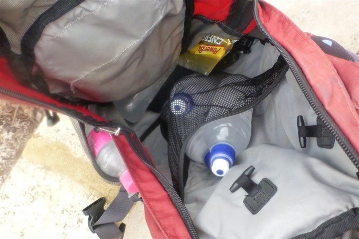
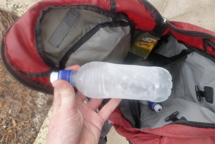
First though, our water supply. We had forgotten our CamelBak’s back at home, so instead I made due with my little red backpack and then froze six water bottles overnight. They weren’t super-big water bottles, hence the quantity. I’d put a few bottles in the side pockets, and then the rest inside the bag for later.
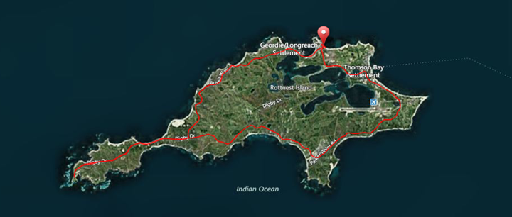
Below is a map of our 15 mile run – to help put things into context.
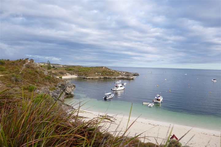
We’ll run a loop around the outer edge of the island. Along most of this loop is bay after bay, some of which have boats moored for folks hanging out for a few days.
Within just a couple minutes of the start of the run, we get the sharp reminder that this is the end of the road for civilization. From here on out we’re on our own.
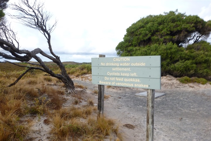
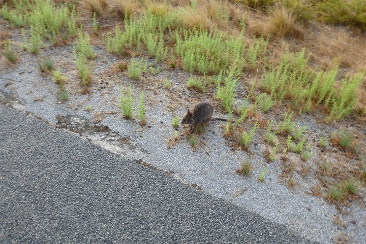
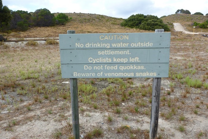
Of course, alone is all relative. As the side above notes – the quokkas (and the snakes) are out there. And within the first mile we spot our first of many (many many many) quokkas. These little creatures are like a cross between a rabbit, a rat, and a kangaroo. They bounce like a kangaroo, but are smaller like a rabbit.
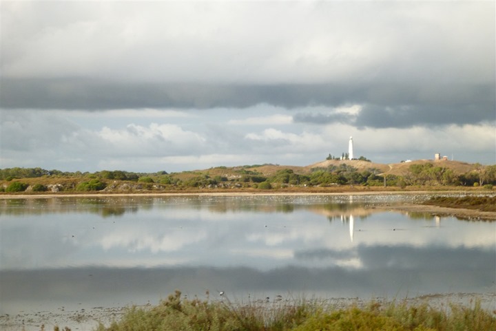
In addition to the exterior water, there are a number of ponds on the interior of the island. This one, with the lighthouse behind of it, was stock full of birds hanging out on the far side.
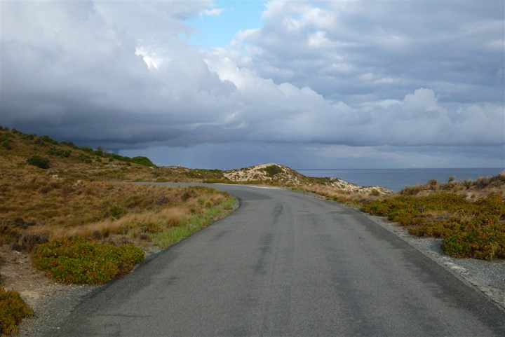
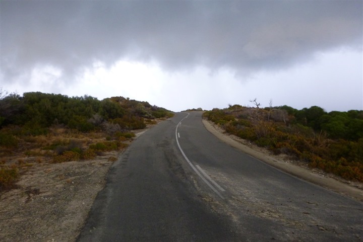
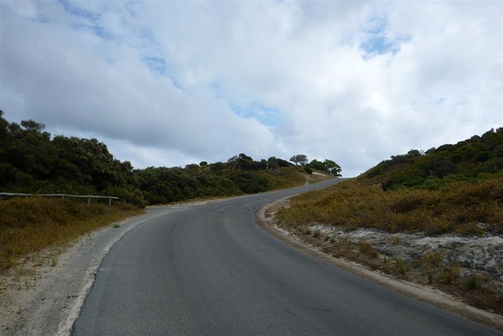
Meanwhile, ahead of us darker clouds lie. Oh, and that bloody hill. There are endless hills on the route. Very little flat ground.
And, the clouds get darker.
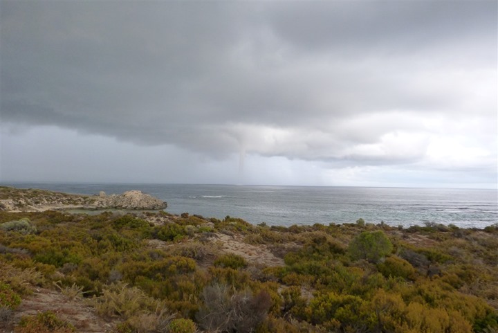
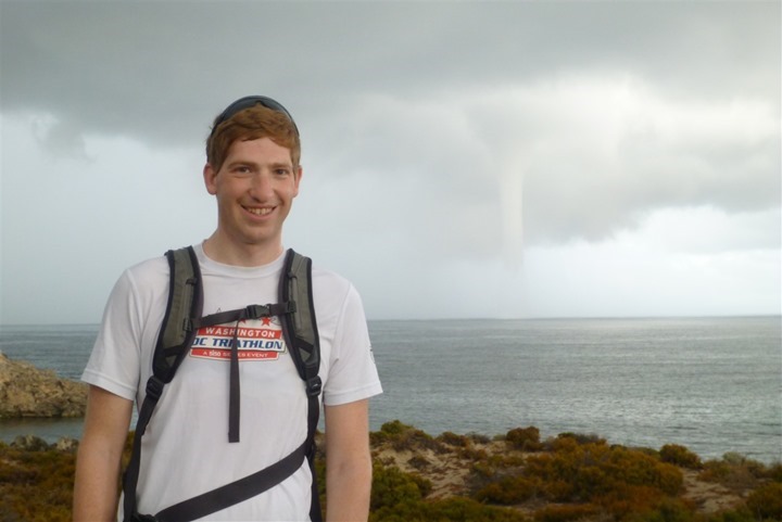
It was about this point that The Girl noticed something off in the distance and chuckled “kinda looks like a tornado!”. So of course, we hurriedly ran up to that little square block on the picture below to get a closer look.
Once there, we could see just how dark the clouds had become.
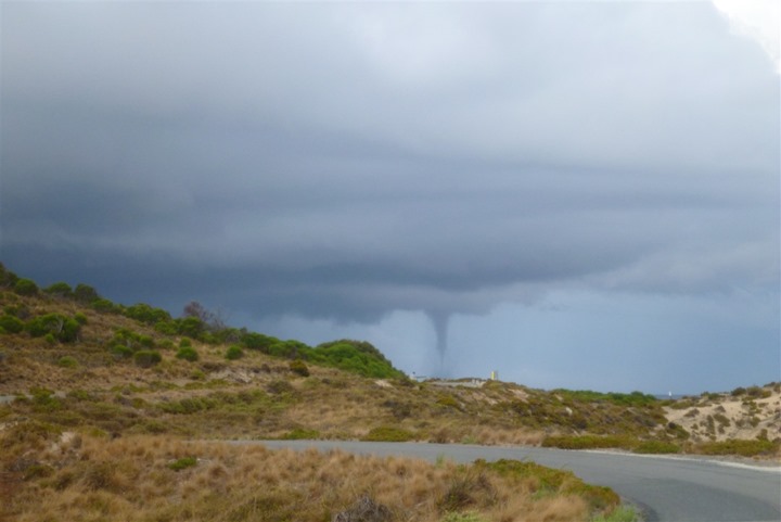
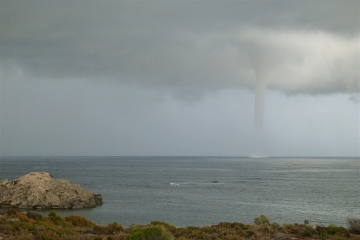
More importantly though, after a touch bit more running around the corner, we could see what we were looking for:
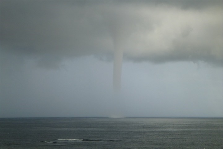
Here, let’s just let that get a bit closer to land and then zoom in a bit.
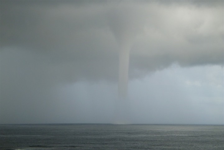
Is this clear enough?
It was massive. About the height of the Empire State Building (or higher), I’d guess. We’d end up seeing two of them, but this was the bigger of the two. It slowly moved along. You couldn’t hear anything from it, perhaps because it was too far away. Just unreal, I’ve never seen anything like it before.
Here’s me, and the funnel:
You remember those dark clouds?
Well, they found us about 2 minutes later.
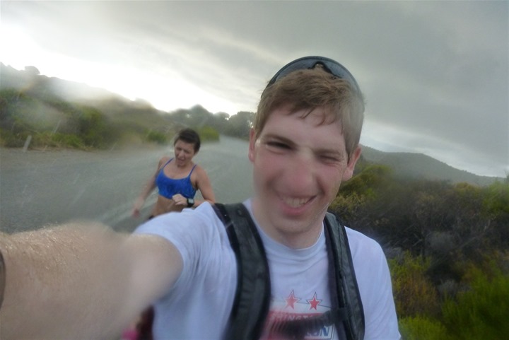
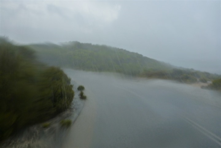
And holy cowbells that rain hurt. A lot. I’ve never had rain actually hurt while running before. Cycling sure, but running, no. This hurt.
While the rain only lasted about 6 minutes we were left drenched for the remainder of the run!
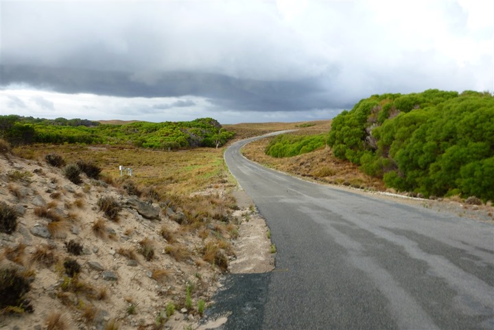
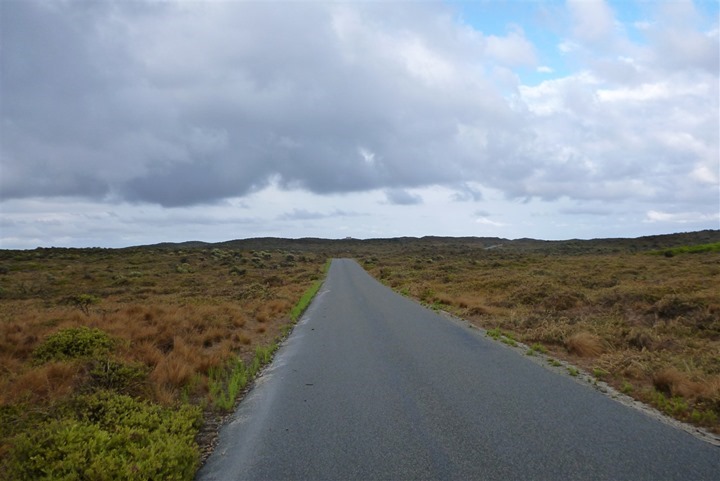
As we forged onwards we took in all that the island had to offer. At this point, the road just rolls on and on and on.
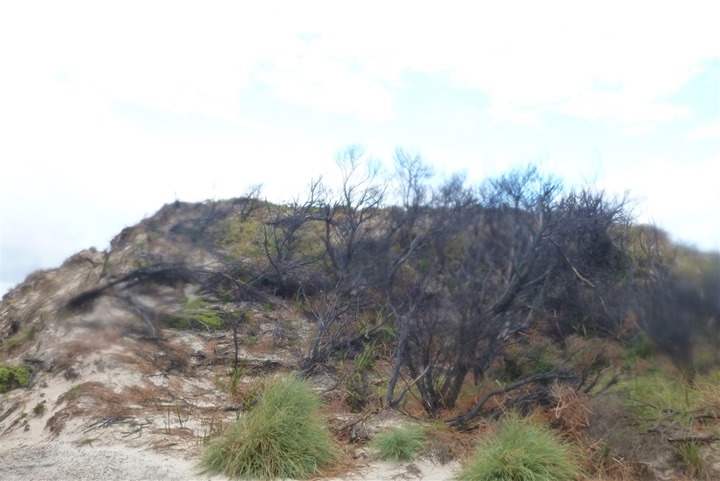
Fires are not permitted on the island (as started by humans), but the evidence of forest/shrub fires is often seen during our run.
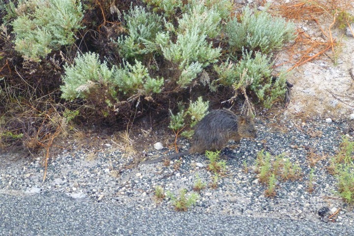
Oh, another of our little furry friends!
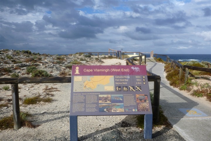
Finally, the Cape! We’ve reached the end of the island. Woot!
It’s rather pretty here. Interestingly, a sign explains that the winds often gust up to 118km/hr (in MPH it’s really fast). We see this throughout the vegetation, given how it’s shaped. That would be brutal to run or bike into during a triathlon (which used to be held here), or the annual marathon.
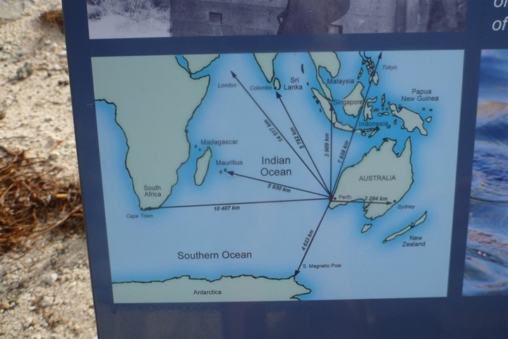
It’s a long way back to Europe.
But thankfully, we just have to run to the other side of the island, and not to London.
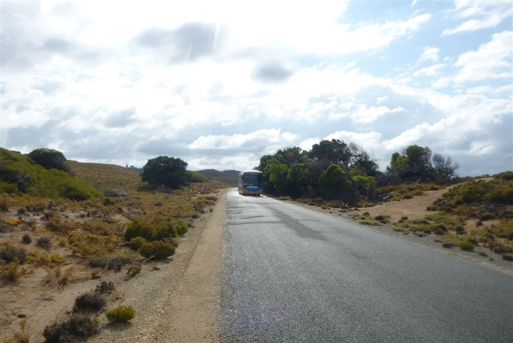
As I noted earlier, no cars are allowed on the island. Just dozens upon dozens of miles of roads for only cyclists. In fact, virtually everyone coming to the island rents a bike – even little kids. However, there is one exception – there’s a single bus. He does a loop around the island about once per hour. A handful of folks are usually on it.
There are also a couple vehicles for rangers, police and paramedics – but beyond that, no residential cars or taxi’s. It’s awesome.
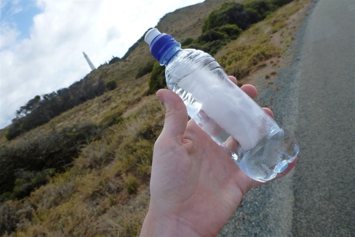
Moment of Zen: There’s still ice in one of my water bottles some 1hr 30m later.
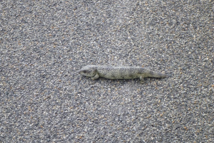
Wildlife! A little lizard looking thing. Only about the size of a banana. It didn’t run away, though we kept our distance.
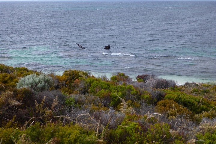
There’s been over a dozen shipwrecks just off this one lookout area of the island. Though the reasons vary from mechanical to alcohol fueled. Later in the day we’d see folks snorkeling on and around it.
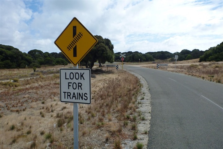
There’s a small train route on the island. Built purely for kids and tourists from what we can tell. We never saw it.
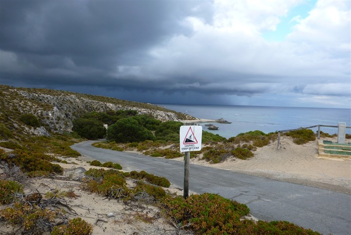
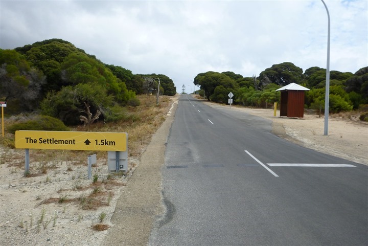
Ahh yes, my favorite sign – this time on the other side of the island. But, while the placement is different than the earlier sign, the meaning is the same – we’re headed back into town this time.
Woot! The one and only sign that looks like this. It feels like we’re on the Oregon Trail.
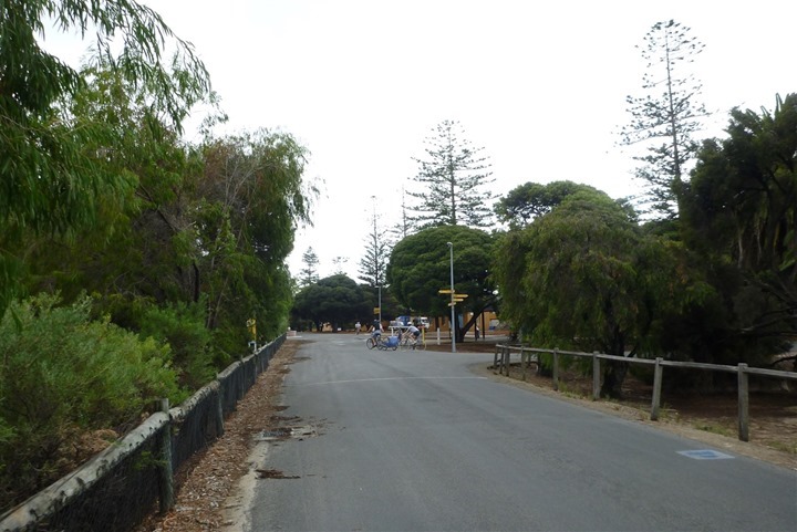
Back in the town. Or, the outskirts of the town. We had no desire to run into the proper section of the town. We just wanted to be done with the run.
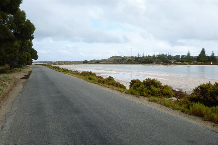
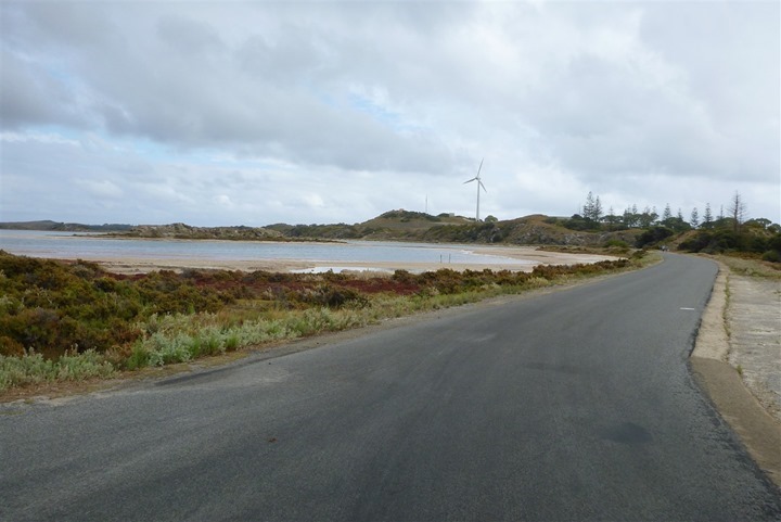
Now we take a turn across the only flats that exist on this island. From here till roughly the windmill. That single wind generator accounts for 37% of the islands energy needs. The rest is handled via a gas generator that relies on shipments from the mainland.
One. Last. Hill.
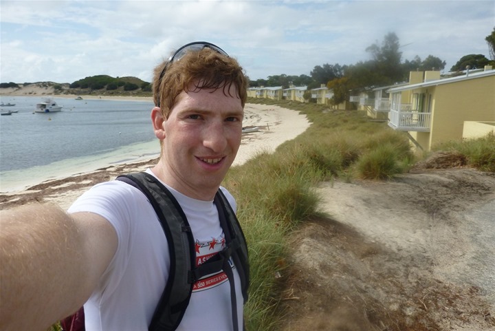
Here’s me. Post-run. Run done.
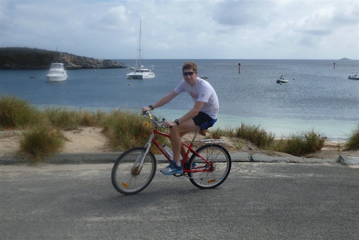
Post-run, we grabbed our rental bikes and went for a short 15-20 minute easy spin. This tremendously helps after a long/hard run to keep your legs from hurting later. Plus, how can you not go for an easy ride with conditions like this?
Once we were done running and post-run-cycling, we grabbed our bikes and took another loop around the island back to ‘our’ beach.
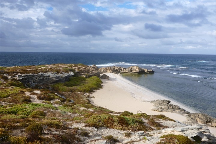
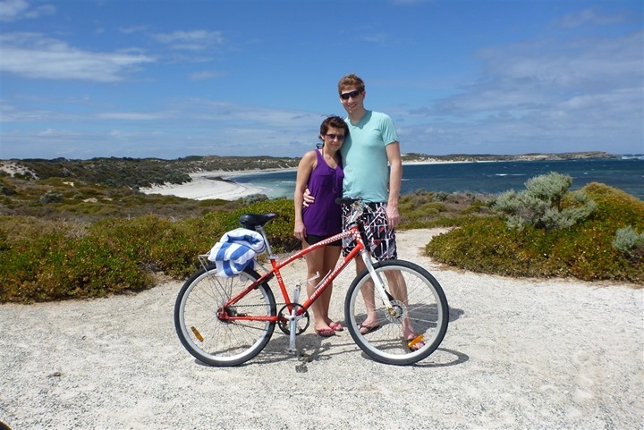
Except, the beach above isn’t ‘our’ beach. Nope, the beach below, on the complete opposite side of the island is. Three straight days in a row – nobody else but us. Pretty awesome (you can click to zoom).
So when do I get to come back to Perth again?
Thanks for reading!
FOUND THIS POST USEFUL? SUPPORT THE SITE!
Hopefully, you found this post useful. The website is really a labor of love, so please consider becoming a DC RAINMAKER Supporter. This gets you an ad-free experience, and access to our (mostly) bi-monthly behind-the-scenes video series of “Shed Talkin’”.
Support DCRainMaker - Shop on Amazon
Otherwise, perhaps consider using the below link if shopping on Amazon. As an Amazon Associate, I earn from qualifying purchases. It doesn’t cost you anything extra, but your purchases help support this website a lot. It could simply be buying toilet paper, or this pizza oven we use and love.



I spent all of Feb 2003 in Perth, and I miss it every day. Thanks for the memories.
Nice trip and thanks for the report.
Wasn’t there a gazillion of super annoying flyes around you?
When we went there the all island felt like paradise, but the flyes turned it into hell.
Nope, not a single fly. It was awesome!
About the only thing we could count as problematic is the seagulls. Those buggers managed to unzip my my backpack while I was swimming and remove a Pringles container, and then remove the top off the Pringels container. Crazy.
Not to forget the Rottnest Channel Swim, one of the biggest open water swimming events in the world! Was just a few weeks ago.
I heard about that. They lucked out in that it wasn’t yesterday. Pretty rough chop across the channel, our boat was all over creation (like being in a car wash). That said, it was great for the kite-surfing and wind-surfing international competition that starts up this week (we saw tons of them practicing)!
@Ray what camera did you use to take pictures on your run?
I use a Lumix TS3 waterproof camera. Been using it for years, and it’s what almost all of my swim/bike/run photos come from (and virtually everything in this post, except the first and last photo which were from my phone).
Here’s the current version of it (the TS4):
link to amazon.com
Welcome (almost) to Wellington. I have been following you guys for a few years now. and we were practically neighbors back in Alexandria… so you’re a bit of a legend to me. My OH and I just moved here a few months ago and I used a lot of your recommendations when we recently made the move overseas (thank you). I am also in awe of your wife and I see Bertie’s-inspired cupcakeries everywhere I go.
I hope you enjoy your time in NZ and please don’t hesitate to reach out if you need anything while you’re here!
Welcome to Australia the lizard is called a “Blue Tongue” for obvious reasons
I love running in the rain but that looked painful! The Girls face says it all! Great trip though :-)
Hi Ray, hope you enjoy Wellington. Great city, great coffee. If you want to get a little middle earth check out Mt Victoria’s running tracks (link to journeyplanner.org.nz). A lot of forest shots were taken up there. But it is just the most wonderful running you will find slap bang in the middle of a city.
Perfect! Exactly what I needed for my Wednesday night run.
BTW, you can ignore the “You are here” icon.
You probably are not. :)
Beautiful. It must have been so awesome to run a whole island with no traffic! That tornado is scary looking!
Hi Ray
Great to see you in our little town.
You actually ran most of the bike course from the old Rottnest Long Course Triathlon, which is now (kind of) the Busselton 70.3. The run was a 2-lap out and back from the Thomson Bay Settlement along the southern side of the island, which, you noted, contains a few hills. It was a brutal event that one.
Despite the rain you picked a good week for weather, much better than the frequent 40 degree C days we have been putting up with!
Ray,
I was suppose to do that exact run the day after the Rotto swim a few weeks ago. Unfortunately the after swim party got the better of me and we only ran about 8km out to one of the bays. Glad you liked the island, it’s a beautiful spot.
The lizard is goanna (a blue tongue). they are harmless. perth is probably one of the very best places in the world to live if you are a triathlete. perfect location and near perfect weather. hope you went to the bakery on rotto and tried a meat pie !
I understand completely, Ray. Perth is still one of my favorite cities in the world.
We spent (OK, lived) some 1,500km north of there. You need to schedule your next trip for this same month (March), then head up to the Northwest Cape and spend a lot of time with the whale sharks. Great snorkeling and diving right off the beach.
Your Runaround Reports are a hoot!
Is that a belt drive on your rental bike?
Wow Great post!
i just love your photos and posts for runarounds in different places!
take care!
Figures that just as you make it to my hometown (Wellington) I’m off elsewhere in the south pacific.
That rain is probably related to the rainy squall that also had me hurting during a long run repeatedly looping a lump of coral (if you want a suffer fest that tests your will try it some day) just south of Samoa on Sunday.
Hope you enjoyed your Wellington run and if you’re looking for somewhere to run in Hong Kong the Happy Valley jockey club is my usual place to go (run around the track with dozens of like minded folk).
Oh man.
You’re going to Wellington after Perth?
That’s going to be a real let-down after what you’ve already seen.
So far, no let down! Amazing weather today, couldn’t have asked for a nicer day in Wellington.
Hi Ray,
I loved looking at your pictureas of Australia. Did you ever find out what the little animal was?
That is amazing that the tornado did not hit land other than rain.
Dad was skiing this past Friday at Holiday Valley(NY). He is giving me gray hairs!
He has decided he wants to go to Germany. I don’t know flights yet. I found one for $1141 but don’t know anything about singapore airlines(second leg of the trip.
I don’t trust Cheapo air. They were written up in our paper.
Take Care,
Beth
Beth, Singapore Airlines is a solid airline with great service. I have flown them several times and would recommend them. I believe they are still one of the top airlines in SE Asia.
Ray,
Just recently, my wife and I developed plans to trek to Australia, and Perth is on the itinerary. I was planning on doing the Rottnest Marathon, and I am wondering how challenging the hills were. Any information would be helpful.
Going off the entry form for the 2012 Rottnest Marathon brochure from the WA Marathon Club, and this Garmin file link to connect.garmin.com, it looks like the route hasn’t changed over the past few years.
Sensational images there of the water spout. We have posted a link to this blog on our forum.
What day exactly was this on. The blog says 9th of March, though reading on you returned the next day.
Thinking if it was Sunday or Monday?
Pretty stoked to hear you are enjoying some of what Western Australia has to offer :)
Hi,
I was wondering if you could give a time on when you saw the waterspout? I work for BOM and it would be good to get a time stamp and direction where they were seen.
thanks!
Northwest of the Catherine’s Bay (where the earlier photos were taken above), first funnel we saw at 7:41AM (but, there may have been earlier ones, we just wouldn’t have been able to see them from behind the hill), and then the second much bigger one a couple minutes later as we rounded City of York Bay (northern side of Island). It kept on going, moving North-Easterly, but we left it behind and kept on running.
Additionally, here’s a pile full of photos what I took (in higher resolution). Enjoy!
Photos: link to sdrv.ms
Note: Island PDF map here: link to rottnestisland.com
Hope you enjoyed your visit to Perth. Those winds you mentioned/enjoyed are known locally as the Fremantle Doctor, a nice south-westerly which blows most days over the summer and lowers the temperatures on the coast. My daily commute in the afternoons is along the coast, riding south from Joondalup to Fremantle (where I guess you caught the ferry from) and all of the 42 km is into that wind … IIRC my worst day was with it blowing about 80 km/h + gusts … fun :)
If you are heading off to Wellington enjoy some more wind :)
I have watermarked your images and will post them on our forum. Brayden gave us the heads up on it.
There is a bunch of info from that day here link to waweathergroup.com (and the page before also.)
Here is the radar animation from that day.
link to oscilmet.com.au
It was the really long red cell that splits.
Could that be WA’s first inadvertent storm chase on foot? Lets say yes :)
Fu Manchu
WA Weather Group Admin
Cool stuff, thanks for sharing!
I used to live on Rotto and have never seen a waterspout. You are right though it is a wonderful place to relax and unwind especially in non peak tourist periods.
ha – i check in for any updates on the Garmin Vector i’ve pre-ordered (as we all do), only to see you’ve been right here in Perth among us!
‘Rotto’ is superb. You captured it well in your blog. Next month UCI Masters World Tour is in Perth, and includes a Road Race and TT in Rottnest. 20km, 1 lap of the island. Sensational. I’ll tape on the Contour1080HD this year and upload onto youtube.
link to uwctperth.com.au
Hope to see many of you come over for the UCI next year. Don’t worry about the quokkas whilst doing the TT, a small bunny hop usually is enough to clear them. As for the snakes, never seen one on many trips to Rotto (but nor waterspouts come to think of it).
And after a hard day in the saddle, the Quokka Arms is the place to ‘re-hydrate’.
I’m surprised no one warned you about drop bears. Danger, Will Robinson!
It’s interesting to see how you and your wife made it from DC to Perth (and enjoyed Rottnest). I made it from Perth to DC and am trying to convince, rather unconvincingly, my wife to make the move from DC to Perth. Would love to hear your secret.
Take her to Rottnest for a long weekend?
It’s tough, perhaps you need to take her from DC to Perth when DC is at it’s roughest – like February – after a good snow storm, to remind her how nice Perth can be. :)
My wife is from Perth and we go there every 18-24 months to visit family (we live in Louisiana). Last time I visited Rotto was 2003 but I guess I’ll have to make a return trip! I always love going there and we’re due up for a return in the spring of 2014. Glad you enjoyed the visit!
I have just found out I am in Perth for work Sunday – Tuesday, (well work Monday and Tuesday, giving me all of Sunday to do as I wish). At first I was annoyed then remember this post.
Hence re-read this to assess Rotto versus Perth city. Still think I will opt for a road bike hire from Perth and ride out wherever Goggle/Garmin Connect suggests best routes are. Maybe Fremantle and beyond… Save the run for Monday and Tuesday morning. Maybe I will tackle the island. About 8 degrees warmer than Sydney though, so will be nice.
About Bike Hire link to aboutbikehire.com.au are probably your best bet to hire a bike, and they’re on the river edge in East Perth, so you could do the standard Swan River loop (go anti-clockwise, something like a combination of these two to include the Causeway Bridge in East Perth: link to connect.garmin.com and link to connect.garmin.com)
Yup, I’d agree with Kelly’s suggestion for bike hire – it’s actually who we had arranged through (but ended up not using). Right there in downtown (and they deliver to you). Very friendly.
I’d agree if you can jump out Sunday to Rottnest, I really would. Especially if the weather is nice.