Heads up – Massive Sports Tech Holiday Deals List is Live!!! The Garmin Fenix 8 is $250 off (even the Fenix 8 Pro is $100 off!), the Apple Watch Ultra 3 is on sale, the Garmin inReach Mini 2 is $249, the GoPro Hero 13 Black, DJI NEO, and a ton of other brands/deals, including Wahoo, Oura, Whoop, Polar, Samsung, Google, and more than 100 sports tech deals here!
I’m DC RAINMAKER…

I swim, bike and run. Then, I come here and write about my adventures. It’s as simple as that. Most of the time. If you’re new around these parts, here’s the long version of my story.

You'll support the site, and get ad-free DCR! Plus, you'll be more awesome. Click above for all the details. Oh, and you can sign-up for the newsletter here!
Here’s how to save!
Wanna save some cash and support the site? These companies help support the site! With Backcountry.com or Competitive Cyclist with either the coupon code DCRAINMAKER for first time users saving 15% on applicable products.
You can also pick-up tons of gear at REI via these links, which is a long-time supporter as well:Alternatively, for everything else on the planet, simply buy your goods from Amazon via the link below and I get a tiny bit back as an Amazon Associate. No cost to you, easy as pie!
You can use the above link for any Amazon country and it (should) automatically redirect to your local Amazon site.
While I don't partner with many companies, there's a few that I love, and support the site. Full details!

Want to compare the features of each product, down to the nitty-gritty? No problem, the product comparison data is constantly updated with new products and new features added to old products!

Wanna create comparison chart graphs just like I do for GPS, heart rate, power meters and more? No problem, here's the platform I use - you can too!

Think my written reviews are deep? You should check out my videos. I take things to a whole new level of interactive depth!

Smart Trainers Buyers Guide: Looking at a smart trainer this winter? I cover all the units to buy (and avoid) for indoor training. The good, the bad, and the ugly.
-
Check out my weekly podcast - with DesFit, which is packed with both gadget and non-gadget goodness!

Get all your awesome DC Rainmaker gear here!
FAQ’s
I have built an extensive list of my most frequently asked questions. Below are the most popular.
- Do you have a privacy policy posted?
- Why haven’t you yet released a review for XYZ product you mentioned months ago?
- Will you test our product before release?
- Are you willing to review or test beta products?
- Which trainer should I buy?
- Which GPS watch should I buy?
- I’m headed to Paris – what do you recommend for training or sightseeing?
- I’m headed to Washington DC – what do you recommend for training?
- I’m from out of the country and will be visiting the US, what’s the best triathlon shop in city XYZ?
- What kind of camera do you use?
-
5 Easy Steps To The Site
In Depth Product Reviews
You probably stumbled upon here looking for a review of a sports gadget. If you’re trying to decide which unit to buy – check out my in-depth reviews section. Some reviews are over 60 pages long when printed out, with hundreds of photos! I aim to leave no stone unturned.
Read My Sports Gadget Recommendations.
Here’s my most recent GPS watch guide here, and cycling GPS computers here. Plus there are smart trainers here, all in these guides cover almost every category of sports gadgets out there. Looking for the equipment I use day-to-day? I also just put together my complete ‘Gear I Use’ equipment list, from swim to bike to run and everything in between (plus a few extra things). And to compliment that, here’s The Girl’s (my wife’s) list. Enjoy, and thanks for stopping by!
Have some fun in the travel section.
I travel a fair bit, both for work and for fun. Here’s a bunch of random trip reports and daily trip-logs that I’ve put together and posted. I’ve sorted it all by world geography, in an attempt to make it easy to figure out where I’ve been.
My Photography Gear: The Cameras/Drones/Action Cams I Use Daily
The most common question I receive outside of the “what’s the best GPS watch for me” variant, are photography-esq based. So in efforts to combat the amount of emails I need to sort through on a daily basis, I’ve complied this “My Photography Gear” post for your curious minds (including drones & action cams!)! It’s a nice break from the day-to-day sports-tech talk, and I hope you get something out of it!
The Swim/Bike/Run Gear I Use List
Many readers stumble into my website in search of information on the latest and greatest sports tech products. But at the end of the day, you might just be wondering “What does Ray use when not testing new products?”. So here is the most up to date list of products I like and fit the bill for me and my training needs best! DC Rainmaker 2024 swim, bike, run, and general gear list. But wait, are you a female and feel like these things might not apply to you? If that’s the case (but certainly not saying my choices aren’t good for women), and you just want to see a different gear junkies “picks”, check out The Girl’s Gear Guide too.

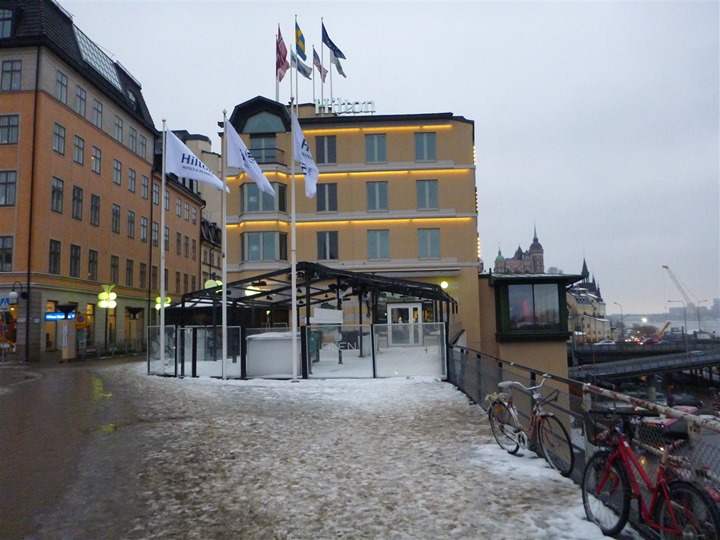
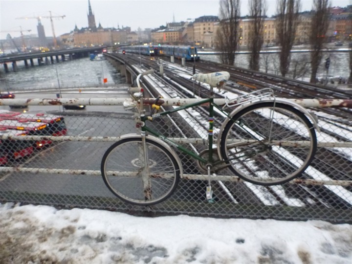
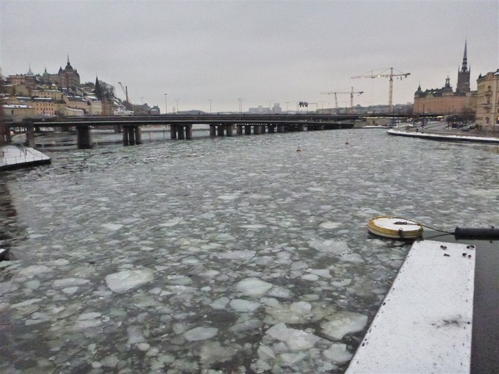
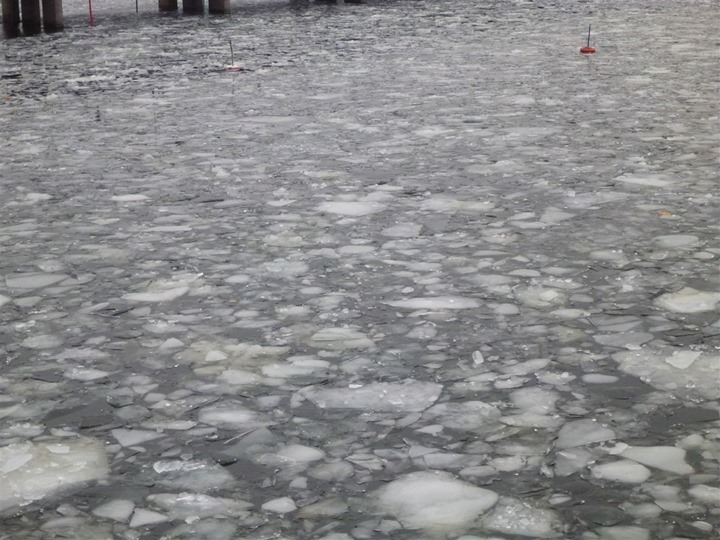
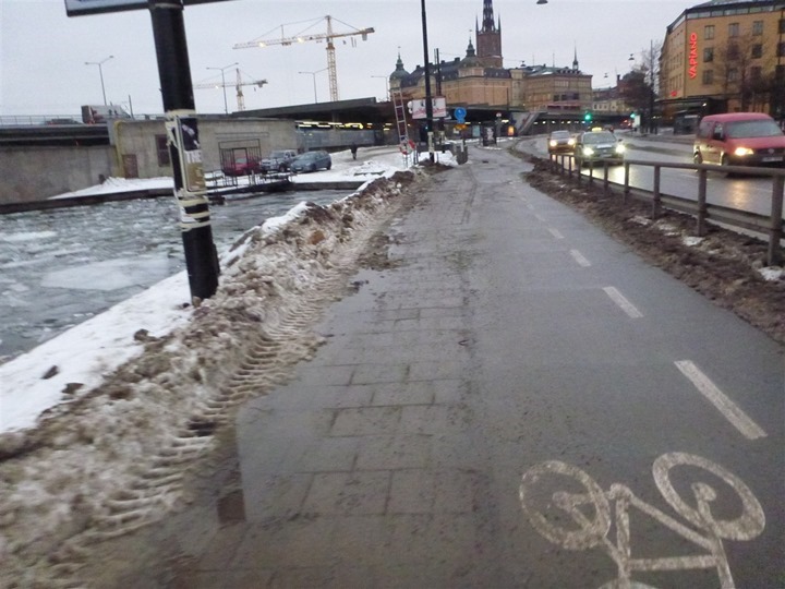
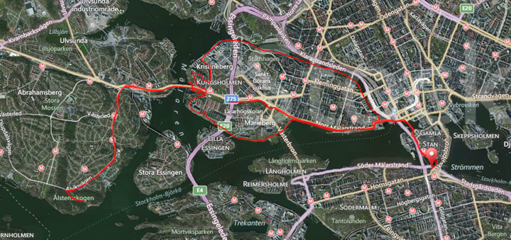
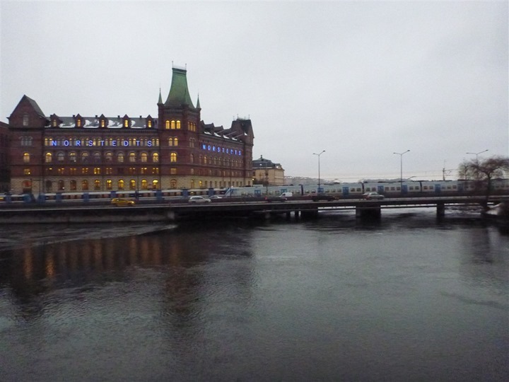
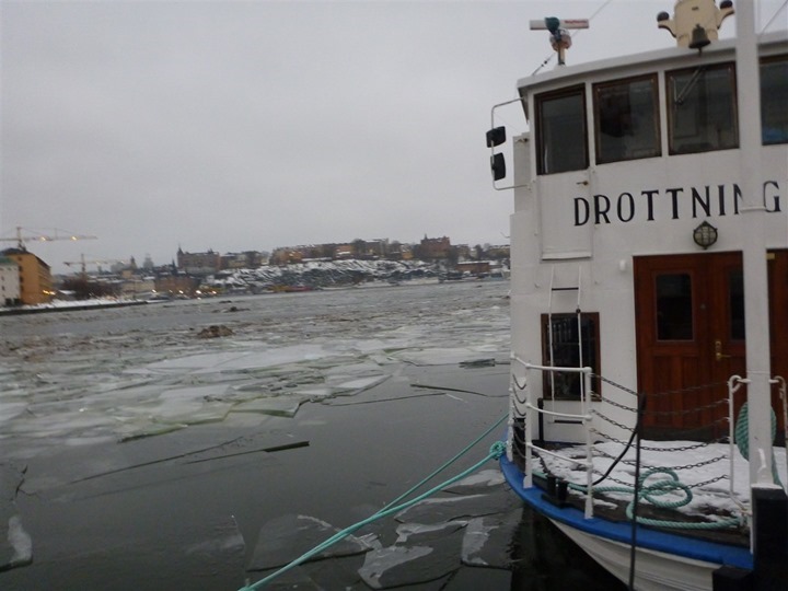
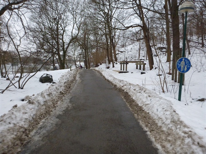
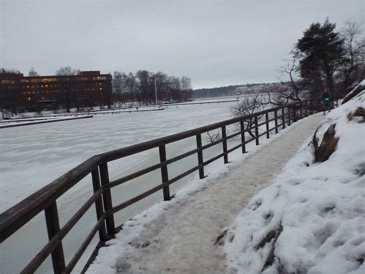
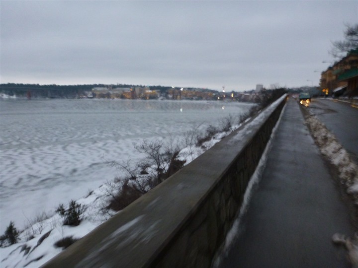
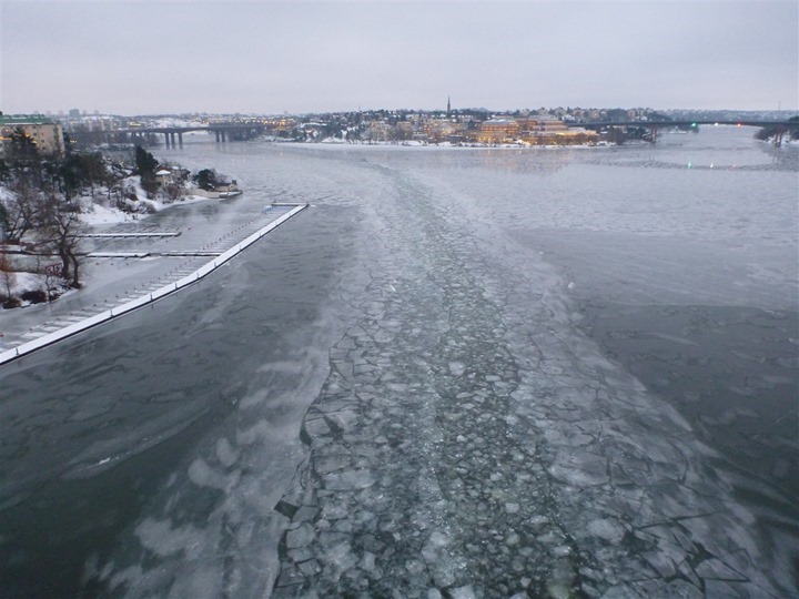
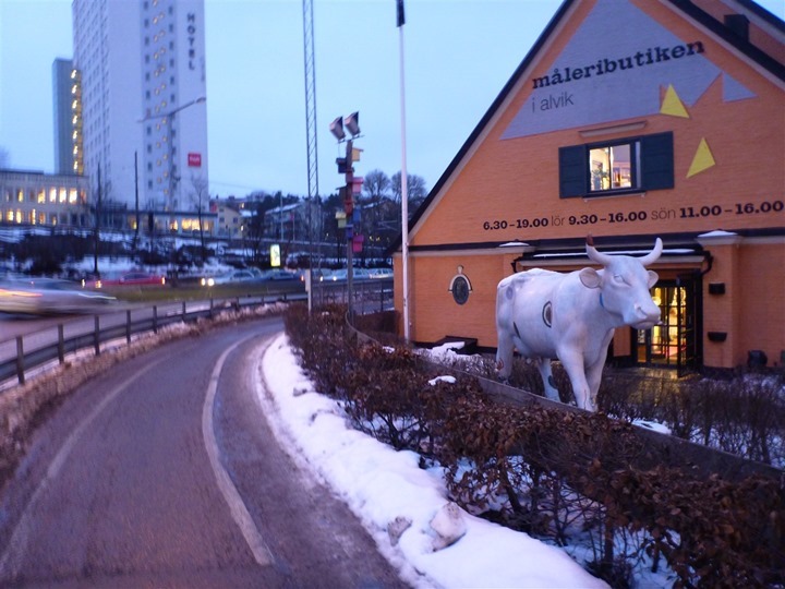
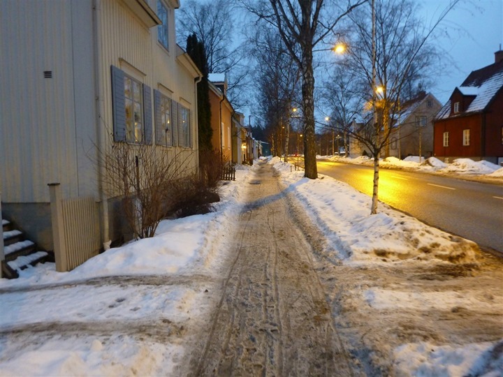
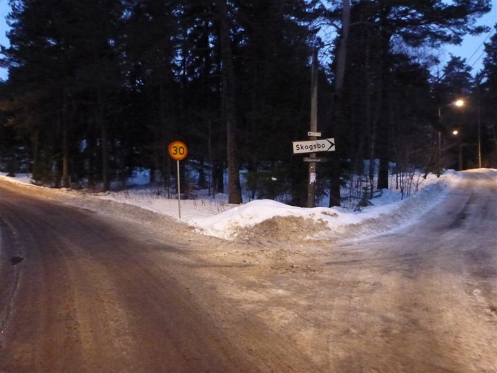
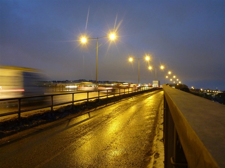
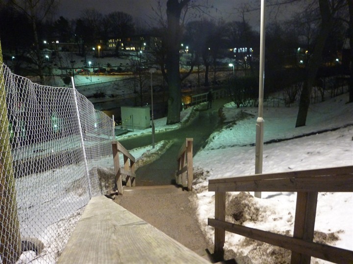

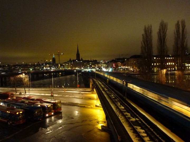


It seems you caught the ‘best’ weather we’ve had here for a while – last couple of weeks it’s been -15 to -20 so it’s basically 20 degrees warmer now.
As I live in Stockholm, it’s great to see the familiar surroundings and read about your experience on your blog ;-)
Next time you’re here, make sure to run to the right instead of the left once leaving Hilton Slussen, and head for Djurgården.
Always fun with an outside perspective. We live about a km from the Hilton and my wife follows your initial route on her way to work in the mornings. Good run, and a late welcome to our home town from us.
Yo dawg, you should use Strava on your iphone during your runs and take pictures with it as well. They just updated their app and it will push it to your account and tie them to the run.
Apologize if you have hit on this subject before, but I have had trouble located older blog post with the new site. Great insight, but how do you typically find routes in towns you travel to for work. I am starting to pick up travel schedules more frequently and am training for IMWI and IMCA 70.3 and hate the thought of 90 treadmill sessions. Any tips?
Ray uses Garmin Connect to find routes in foreign areas.
How do you carry your camera when you are running? (And swimming -nowhere to put it in a wetsuit) – great run though – I love running in Stockholm in the morning – a beautiful city!
Thats cool! We have been in the Hilton Hotel too, when we travelled to Stockholm in September 2011 when the Stockholm Halfmarathon was held.
Gamla Stan is so beautiful and indeed the area when you head right to Djurgården is amazing.
Cheers,
Daniel
Excellent post! Really entertaining to read about your home town. I agree with the others about taking to the right next time and run through Djurgården and Gärdet, if possible do it during springtime! :-)
And because you did the run around Kungsholmen I am not surprised that you met a fair number of runners since that is supposed to be the number one running route in the center of town.
Nice read! That windy bridge (Västerbron) is passed twice in the Stockholm Marathon. I work at Slussen but live outside the city, so I rarely go run in those areas. Only at race day :)
Except that the windy bridge was Tranebergsbron. ;)
Did you go for a dip? I’d like to see just how the Garmin 910 xt works in there. In you go DC.
I’m interested in hearing more about your use of NGP. I do a lot of my training in hilly areas but generally when I select races that have a flat course. How close (or equivalent) do you think the NGP is to running at that pace on a flat course?
Hey Ray,
You know that view in Sport Tracks where you can have a world map with a little square in all the places you’ve done a run/ride? I wonder what yours looks like. I think mine is kind of cool – I’ve pretty much 4 cornered the US plus some spots scattered in between, and tacked on Hawaii, New Zealand, and Germany, but yours is probably pretty impressive.
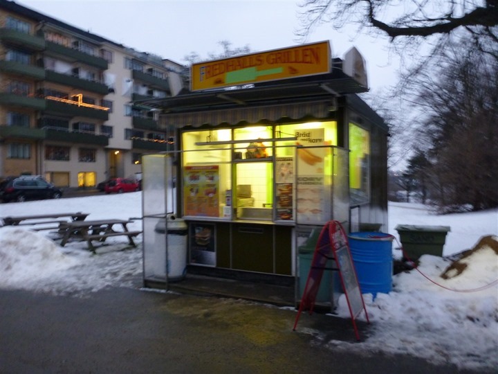
I could be mistaken, but I think that’s the hot dog stand that was featured in the Stockholm episode of No Reservations (the Anthony Bourdain show on the Travel Channel).
Dude, impressive run. 7:30 min avg over 18 miles w/ ice that slowed you down, your real avg would have been closer to 7 min/mile
Stockholm is such a beautiful city. Thanks for sharing this post.
Noting it once again here, the average pace was quite impressive. Chapeau!
Another nice post,thanks for sharing!
Thanks as always for taking the time for these travel posts
Ha! Nice to see once again some of my own paths taken in Stockholm in August.
Lovely capital. Probably the most beautiful Europe has!
Would love to know your warm up routine. Do you warm up at all before heading out? 70 bpm min HR seems low. Also, perhaps related, would love to know your typical strength training routine, if you wouldn’t mind sharing. Thanks.
No warm-up. In general, most coaches and others agree that stretching before running tends to lead to more injuries than less. Instead, just a gradual build is recommended. You can see that in my run file.
I don’t see any 70BPM in my file, except the first few seconds as I go from stopped to starting running. Of course, that marks the ‘minimum’ HR value that you see at the start.
Hi rainmaker!
When are you coming to Finland! Would love to show you around and pick your brain for a day!
Let me know and we’ll set it up!
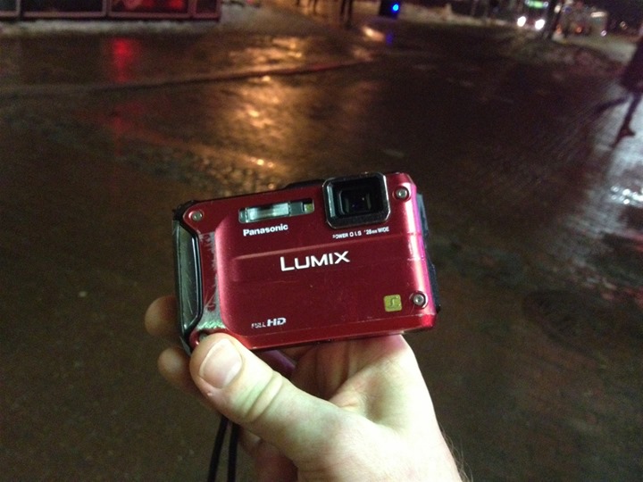
I’ve also got the Lumix camera! It’s adorably sturdy! I’ve taken it out on a few runs with me, but I don’t tend to get shots that are as clean as yours, even in broad daylight. What settings do you usually have the camera on while you use it? Just the default auto or do you adjust it for the light?
“Luckily, the Swedes are really efficient at cleaning bike lanes of snow. In fact, even by Monday morning they were largely cleared. I was fairly impressed.”
Well, that’s because it had not been snowing for a couple of days and it was above zero degrees, The Swedes are terrible at cleaning bike lanes. Cars and buses are priority one. And two. And three.
Hopefully the snow will melt away before the next snow fall and bikers and pedestrians will be happy for a few hours at least.
It snowed Sunday evening and into at least 3-4AM Monday morning (I know, as I was watching it snow out my window until then).
It was actually snowing hard enough that in between each arriving flight they plowed the runway with more than 10 plows (it was pretty cool to watch). We had to have an escort from the runway to the gate because the snow was hard enough that it covered up the taxiway lights. Never taxi’d so slow in my life (despite probably a thousand flights).
i love these kinds of posts, also i learned about NGP, which is very cool to know. Questions: according to garmin connect’s “Training Effort” you are “overreaching”. Any thoughts? I assume it’s a HR related metric, but your HR wasn’t too crazy, i don’t understand why you would be rated a 5.
The Training Effort is always an area I’ve been meaning to poke into. Looking at my HR zones defined in GC, it looks ‘normal’. I’d need to check what zones were downloaded to the FR610. Whether it’s a default HR zone set, my GC set, or perhaps even my New Leaf set. Gotta see.
Either way, definitely not an overreaching effort. Not compared to some of my other weekly runs…
I am not sure there is a better way to see a city than running through it. Thanks so much for sharing your run with us.
Was in wintertime Stockholm briefly years ago, and it’s on my list of places I’d like to visit again. Arrived without a hotel reservation, and found there was some convention in town which swept up all available rooms. Contacted a service which places travelers in private homes and had a great overnight with a Swedish family. Arranged to visit the STF mountain station at Storulvån in the Jämtland mountains and had one of the best times of my life back-country skiing with the Swedes (after going through the required survival training mini-course). The Swedes were surprised I could traverse the mountains easily. From Storulvån you can easily ski into Norway on a day trip. Very cool.
For those interested in the camera the Lumix DMC-TS5 was announced the beginning of this year so should start shipping soon. (just in case someone wants to pull the trigger on the TS4, might be good to either wait for the price to drop on the old or the new one to come out)
I love living vicariously through the travels of others. What’s even better is the physical fitness side of things. As Ann said, driving through a city just isn’t the same as getting to see it on foot. My travels aren’t very extensive, and as a mid-westerner, our cities are fairly boring, but seeing them on foot is a whole new experience. That said, as said in your recent survey, keep the pictures and adventures coming!
Didn’t know Rainman was staying in STHLM for so long, otherwise I/we would have given you some advise on great tracks close to Slussen (where you stayed)…
Hopefully they will sent you back when the snow and the thaw has cleared and all the frowned faces has turned into smiles… and bring your bike then too, for a great ride from Slussen out to Värmdö/Ingarö (the archipelago) via ‘Gamla Värmdövägen’… Also you’ll be able to fully enjoy the tranquility of running around the tracks and walkways in the forests around Djurgården and Gärdet.
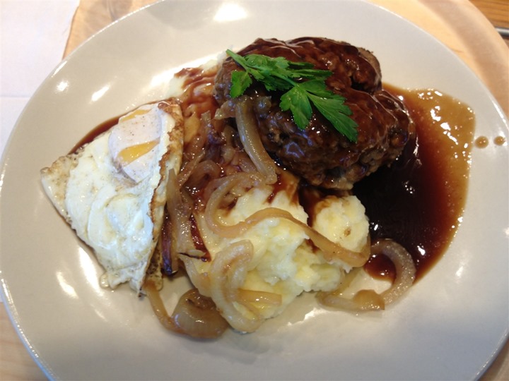
By the way… I’m fairly sure that dish is ‘Oxjärpar’ (a dish that can actually be traced back to the Middle Ages , not meatballs (taste different due to the seasoning, condiments and also have more of an oval shape). Also, another valid reason for that is also; that large meatballs are non-existent here :-)