Heads up – Massive Sports Tech Holiday Deals List is Live!!! The Garmin Fenix 8 is $250 off (even the Fenix 8 Pro is $100 off!), the Apple Watch Ultra 3 is on sale, the Garmin inReach Mini 2 is $249, the GoPro Hero 13 Black, DJI NEO, and a ton of other brands/deals, including Wahoo, Oura, Whoop, Polar, Samsung, Google, and more than 100 sports tech deals here!
I’m DC RAINMAKER…

I swim, bike and run. Then, I come here and write about my adventures. It’s as simple as that. Most of the time. If you’re new around these parts, here’s the long version of my story.

You'll support the site, and get ad-free DCR! Plus, you'll be more awesome. Click above for all the details. Oh, and you can sign-up for the newsletter here!
Here’s how to save!
Wanna save some cash and support the site? These companies help support the site! With Backcountry.com or Competitive Cyclist with either the coupon code DCRAINMAKER for first time users saving 15% on applicable products.
You can also pick-up tons of gear at REI via these links, which is a long-time supporter as well:Alternatively, for everything else on the planet, simply buy your goods from Amazon via the link below and I get a tiny bit back as an Amazon Associate. No cost to you, easy as pie!
You can use the above link for any Amazon country and it (should) automatically redirect to your local Amazon site.
While I don't partner with many companies, there's a few that I love, and support the site. Full details!

Want to compare the features of each product, down to the nitty-gritty? No problem, the product comparison data is constantly updated with new products and new features added to old products!

Wanna create comparison chart graphs just like I do for GPS, heart rate, power meters and more? No problem, here's the platform I use - you can too!

Think my written reviews are deep? You should check out my videos. I take things to a whole new level of interactive depth!

Smart Trainers Buyers Guide: Looking at a smart trainer this winter? I cover all the units to buy (and avoid) for indoor training. The good, the bad, and the ugly.
-
Check out my weekly podcast - with DesFit, which is packed with both gadget and non-gadget goodness!

Get all your awesome DC Rainmaker gear here!
FAQ’s
I have built an extensive list of my most frequently asked questions. Below are the most popular.
- Do you have a privacy policy posted?
- Why haven’t you yet released a review for XYZ product you mentioned months ago?
- Will you test our product before release?
- Are you willing to review or test beta products?
- Which trainer should I buy?
- Which GPS watch should I buy?
- I’m headed to Paris – what do you recommend for training or sightseeing?
- I’m headed to Washington DC – what do you recommend for training?
- I’m from out of the country and will be visiting the US, what’s the best triathlon shop in city XYZ?
- What kind of camera do you use?
-
5 Easy Steps To The Site
In Depth Product Reviews
You probably stumbled upon here looking for a review of a sports gadget. If you’re trying to decide which unit to buy – check out my in-depth reviews section. Some reviews are over 60 pages long when printed out, with hundreds of photos! I aim to leave no stone unturned.
Read My Sports Gadget Recommendations.
Here’s my most recent GPS watch guide here, and cycling GPS computers here. Plus there are smart trainers here, all in these guides cover almost every category of sports gadgets out there. Looking for the equipment I use day-to-day? I also just put together my complete ‘Gear I Use’ equipment list, from swim to bike to run and everything in between (plus a few extra things). And to compliment that, here’s The Girl’s (my wife’s) list. Enjoy, and thanks for stopping by!
Have some fun in the travel section.
I travel a fair bit, both for work and for fun. Here’s a bunch of random trip reports and daily trip-logs that I’ve put together and posted. I’ve sorted it all by world geography, in an attempt to make it easy to figure out where I’ve been.
My Photography Gear: The Cameras/Drones/Action Cams I Use Daily
The most common question I receive outside of the “what’s the best GPS watch for me” variant, are photography-esq based. So in efforts to combat the amount of emails I need to sort through on a daily basis, I’ve complied this “My Photography Gear” post for your curious minds (including drones & action cams!)! It’s a nice break from the day-to-day sports-tech talk, and I hope you get something out of it!
The Swim/Bike/Run Gear I Use List
Many readers stumble into my website in search of information on the latest and greatest sports tech products. But at the end of the day, you might just be wondering “What does Ray use when not testing new products?”. So here is the most up to date list of products I like and fit the bill for me and my training needs best! DC Rainmaker 2024 swim, bike, run, and general gear list. But wait, are you a female and feel like these things might not apply to you? If that’s the case (but certainly not saying my choices aren’t good for women), and you just want to see a different gear junkies “picks”, check out The Girl’s Gear Guide too.

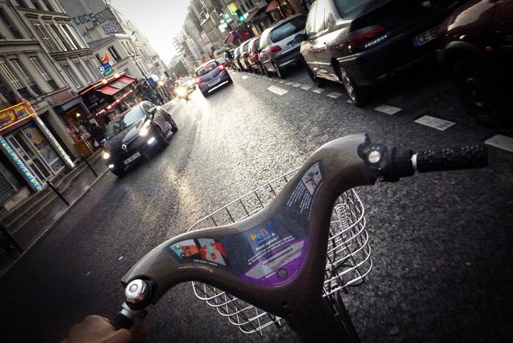
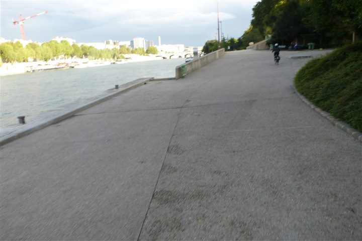
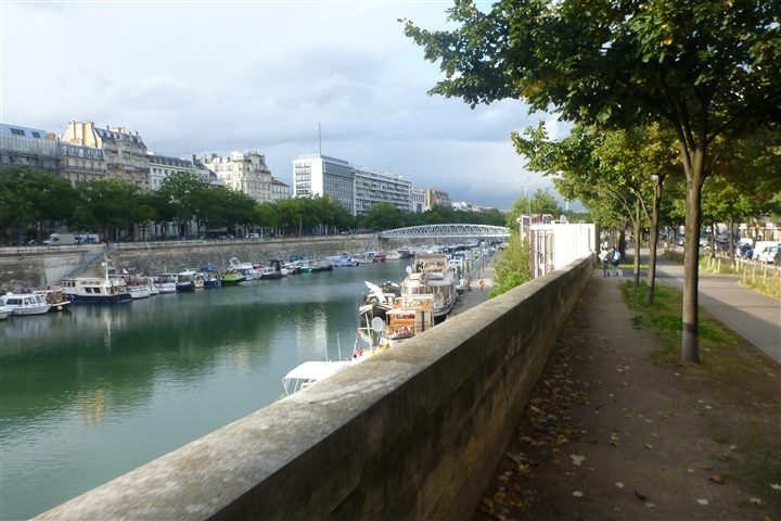
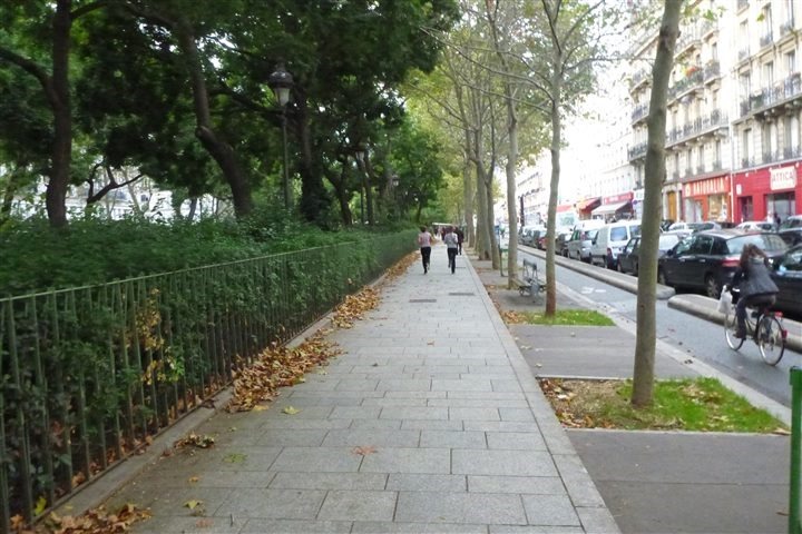


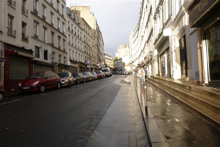

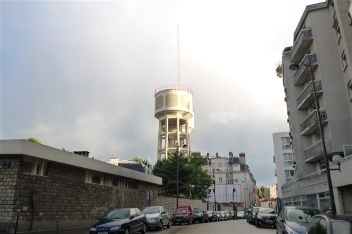
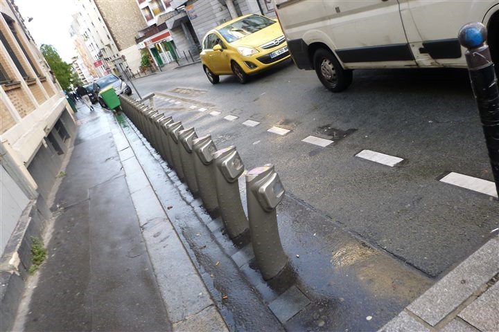
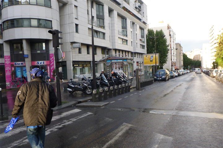



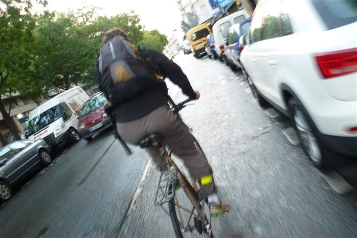
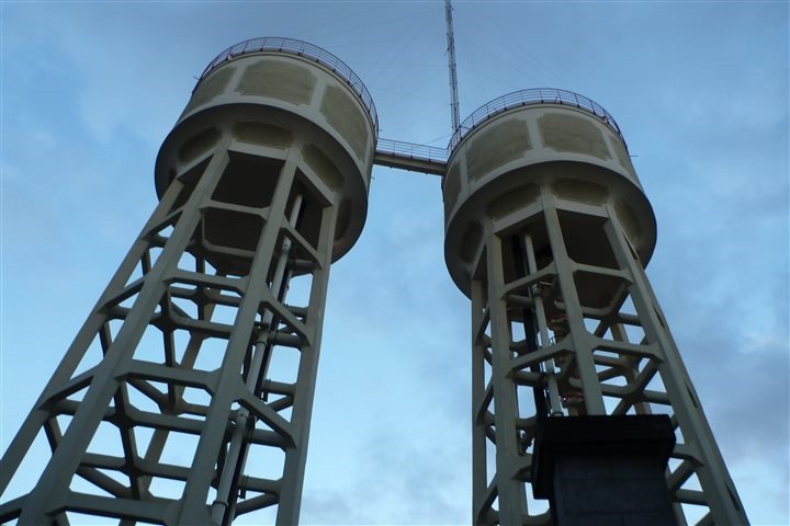
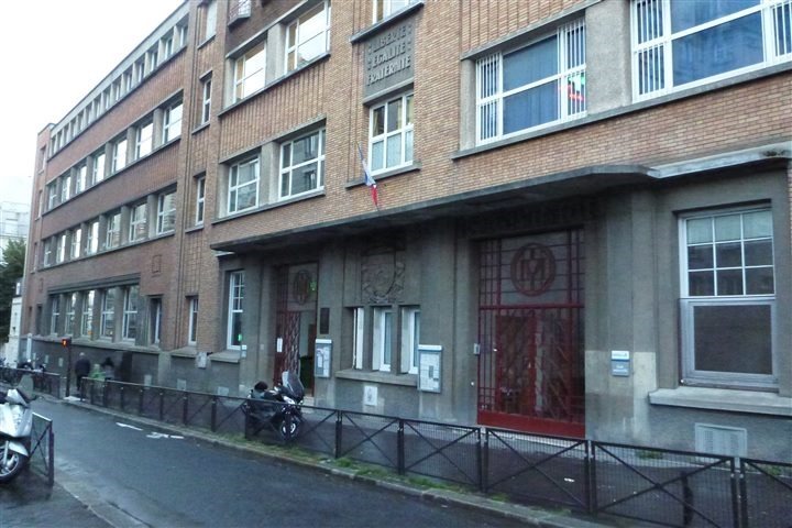

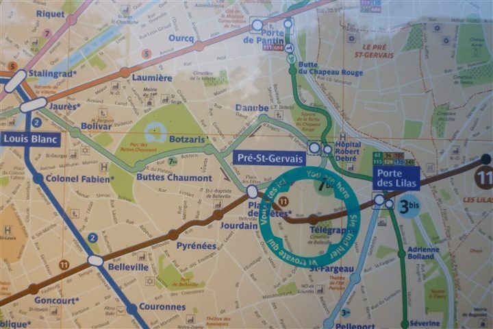
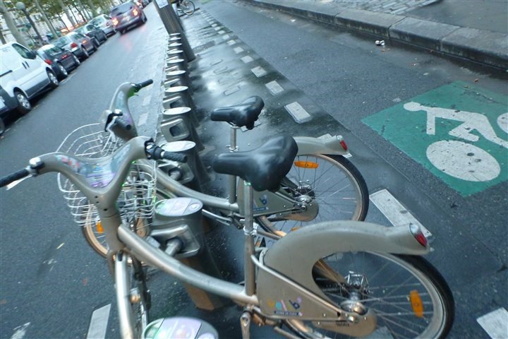
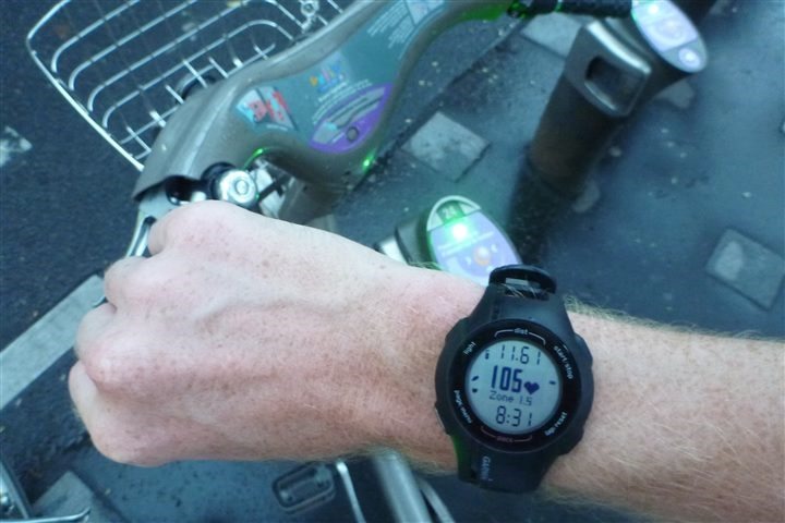
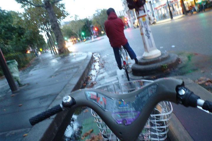




I love that story and I hope your hills pay off and you have a great race.
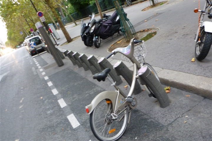
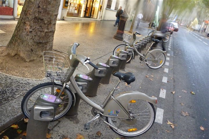
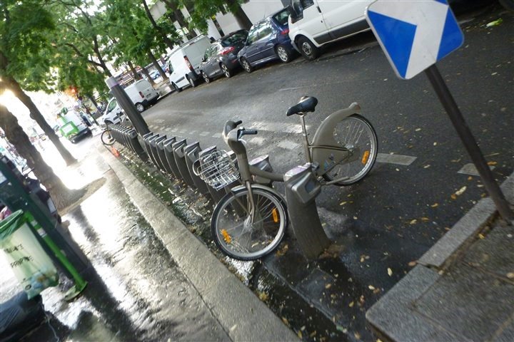
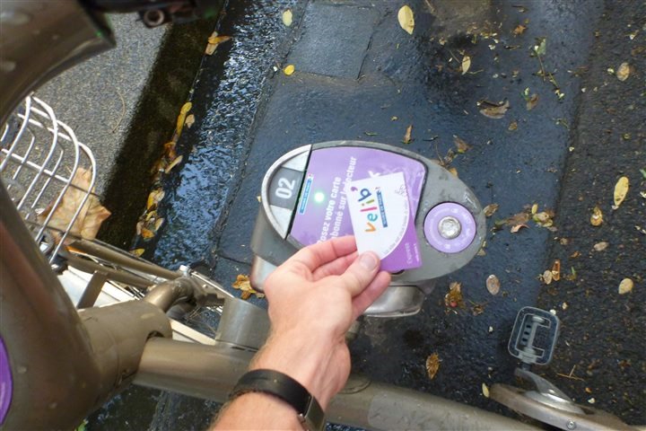
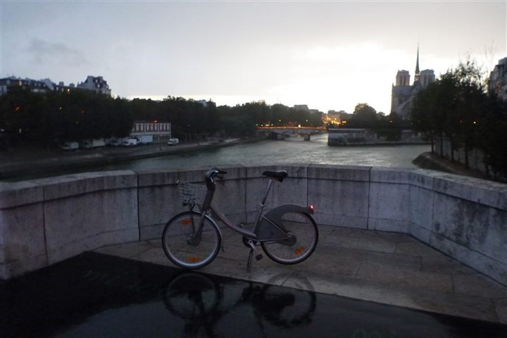
Here in Taipei, our EasyCard works for both the MRT (your Metro) and the UBike (your Velib). Even mo better… the same card can be used in any convenience store such as 7-11. Super convenient!
Enjoy your posts. Keep them coming.Thanks!
@Lin
Same in Paris, “Navigo” card works for Metro, Bus & Velib.
@Sébastien
I was under the impression that the bikes and metro were on different systems since he said, “…that I should have taken my Metro card (or money), so I could just simply take the Metro home.” I was assuming he had to use a card to get a bike??
Anyway, good to here the Navigo card works across all systems. I totally forgot our EasyCard works on the bus system as well.
Correct, I have a Navigo card, but I also have a traditional Velib card (got it previous to Navigo).
Hello Ray,
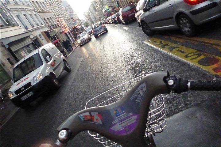
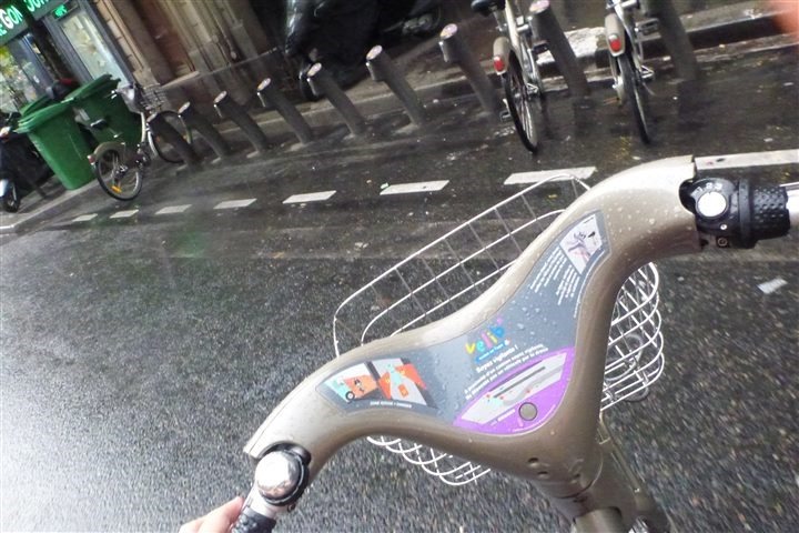
As a Parisian myself, you need to know something about Velib: stations on top of hills are ALWAYS empty, while the ones before hills are full. You’re idea was good but not possible in real life ;)
You should also download an iPhone app to live check the availibility of bikes. Many of them exist, I can advise the simplest one: Openbike now => link to itunes.apple.com
And about running hills: you could try the Buttes chaumont. It will be shorter (aroud 500m length for 1 hill) but it’s a nice parc, it’s free of cars but full of trees… Tell me how you find it :)
++
This is why you can get 15 free minutes credit on your card if you drop a bike in a station on top of a hill. Theses stations have the “Bonus V+” pictogram.
Bike share in DC tends to run out of bikes at the tops of hills too. Most people just want to go down the hills
Ahh, but Roman – as a Parisian you’d know that the iPhone app is NEVER accurate. :)
I’ve got that app (and a few others), and they always show incorrect bike numbers. I’ve kinda gotten to the point that they’re useless. :(
That’s strange, I usually have no issue from those apps as long as I refresh them often enough (like juste before living my place or while looking on the run for a bike). It says “2min ago” for instance and I have no good/bad surprise.
And btw you could merge Navigo with Velib so that you only have to carry one pass ;)
Weird. For me, I can be standing in front of a rack and it tell me there’s 28 bikes available, yet nothing. :(
Yeah, I could merge the two passes, but for now I just keep them separate since it means I can also let friends/family in town borrow my Velib pass.
The Forerunner 210 makes another appearance!
It’s probably not healthy that one of my first questions for training-related posts such as this is usually, “I wonder which unreleased/skunkworks devices Ray is using today?” And I must admit, the appearance of a 210 in any post reinforces this suspicion.
Keep up the good work!
Yeah, I usually my original launch-week FR610, and then 10 or so days ago The Girl started using it and that caused the discoloration issues that are well known for certain people (fine for me, not for her). So I ran up support and am in the process of having it swapped out. Thus, I’d use the FR210 instead.
Hi Ray,
I do sooo enjoy your Paris adventures with all the pics, thanks for the sweet post and have a great race,
Alice
just thinking… maybe you should have done your training the right way… like cycle up, run down, and after like 5 bike rides, you would be able to do some uphill run repeats… though somebody could take your bikes you previously drove up… hmm… but just imagine how much time credit on your velib card you would get!
regarding hill repeats… i do quite often “hill repeats” on the trocadero steps… like series of 15-20… short and sweet, but to be attempted only early in the morning or in the evening (due to crowds)
The Girl stole your 610XT in revolt of you not finding/sending off her 310 that she so dearly loves. Maybe she decided stealing your 610 would force you into action to getting her “orange” back. ;)
As I was a Parisian, I’ve done many repeats training with a velib in the “cote des gardes” by night, not too much cars in the slope and the elevation is long enough to try different kind of repetition (to 1′ to 5′ before going back to start).
Nevertheless, the closest velib station is a little far so you have to get bonus in your account to finish a training without paying.
Bonus fact : if you do this, you will know exactly the sloping rate of the “cote des gardes” for the yearly “paris-versailles” race.
Yes Belleville can get crowded, it’s usually better late/early. Another way to tackle the same hill is to start a bit further along the canal by Jaures metro station and take Avenue Secretan up and finish by telegraph as well. It’s a bit longer and the sidewalks are much wider. Les Buttes de Chaumont is also a very nice park.
link to strava.com
Hope you have better luck next time!